What is recorded here
Mundellihy holds a thirty-metre earthen ring where cattle have worn the ancient bank into a shallow ridge. The gap at the eastern edge still points toward the rising sun, while a modern watercourse traces the old ditch below. People may have lived inside that grassy circle before the land became pasture, but the fort keeps its own quiet company now.
In pasture, on E-facing slope. Circular area (diam. 30m) enclosed by earthen bank (int. H 0.4m; ext. H 0.95m) with external fosse (D 0.4m; Wth 1.2m). Bank, much eroded by cattle, has gap (Wth 2.1m) at ESE which may be entrance. Recent watercourse runs along line of fosse S->WSW. Interior under grass and slopes down gently to E.
Compiled by: Denis Power
Date of upload: 26 August 2011
The monument record does not grant public access. Check the route and ask the landowner before entering private land.
- What survives
- Recorded monument
Places near here
 Fairy fort / earthen ringfort in AhaveheenFairy fort / earthen ringfort · 1481 yd
 ToberhoranSpring · 1566 yd
 Moated site in AhaveheenMoated site · 1.1 mi
 CastleCastle, unclassified · 1.3 mi
 ToberacappeenSpring · 1.3 mi
 KilnKiln, lime · 1.5 mi
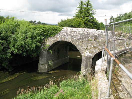 Broken Bridgebridge · 1.6 mi
 Castle (in ruins), Springfield CastleCastle, tower house · 1.8 mi
 National Co-op MuseumMuseum · 2.2 mi
 Ballagh MountainMountain / peak · 6.5 mi
 Mullaghareirk - Banane LoopWalking route · 6.7 mi
 Rock HillMountain / peak · 8.9 mi