What is recorded here
Mullenroe holds a broad earthen ring on a sunny slope, with a hidden passage beneath its centre. The structure still stands, marked by a bank, a shallow ditch, and an entrance facing southeast. It is the kind of place where ordinary pasture suddenly deepens into human intention, as if the ground itself learned to remember shape.
In pasture, on SSE-facing slope. Circular area (34m N-S; 32m E-W) defined by earthen bank (H 1.7m); external fosse (D 0.3m) WNW->ENE. Immediately inside and concentric with bank is dump of stone material (Wth 1.5m). Entrance (Wth 3.4m) to SE. Interior raised on SSE side to compensate for hillslope; Man-made underground passage (8922) at centre.
The above description is derived from the published 'Archaeological Inventory of County Cork. Volume 3: Mid Cork' (Dublin: Stationery Office, 1997). In certain instances the entries have been revised and updated in the light of recent research.
Date of upload/revision: 14 January 2009
The monument record does not grant public access. Check the route and ask the landowner before entering private land.
- What survives
- Recorded monument
Places near here
 Neill's WoodWood · 1725 yd
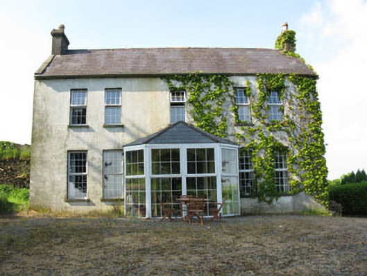 Mount Crosshouse · 1.0 mi
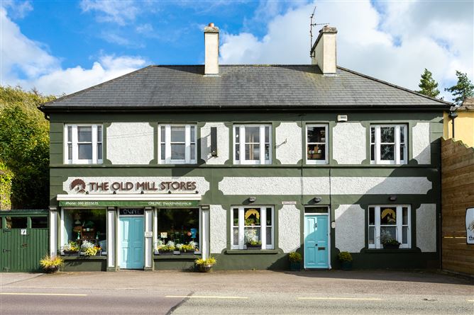 Old MillMill, unclassified · 1.1 mi
 Grave YdGraveyard · 1.2 mi
 Man-made underground passage (Site of)Man-made underground passage · 1.3 mi
 Clonavrick CliffCliff · 1.9 mi
 Macroom WalksVisitor information · 2.5 mi
 Macroom Castle (in Ruins)Castle, tower house · 2.6 mi
 Carrigaphooca CastleCastle · 2.7 mi
 Battle of Macroombattle · 2.7 mi
 Curraheen WoodWood · 2.8 mi
 BurrenMountain / peak · 3.7 mi