What is recorded here
Situated at the crest of the S-facing slope of a drumlin. This rath is depicted on McCrea’s map of Co. Monaghan (1793). It is a subcircular grass and rush-covered area (int. dims 49m NE-SW; 42m NW-SE) that slopes down gently to the SW, and it is defined by an earthen bank with some bushes that is best preserved at NW (Wth of base 5.5m; Wth of top 2m; int. H 0.5m; ext. H 1m) and is largely reduced to a scarp elsewhere. There are traces of an external fosse NE-SE, and there is an outer drain SW-NW. There are gaps in the bank at SSW and WNW, but the original entrance (Wth of base 4m) is at ESE.
The above description is derived from the published 'Archaeological Inventory of County Monaghan' (Dublin: Stationery Office, 1986). In certain instances the entries have been revised and updated in the light of recent research.
Date of revision: 25 July 2017
The monument record does not grant public access. Check the route and ask the landowner before entering private land.
- What survives
- Recorded monument
Places near here
 Catholic Church of the Holy Familychurch/chapel · 574 yd
 IndicatedCrannog · 758 yd
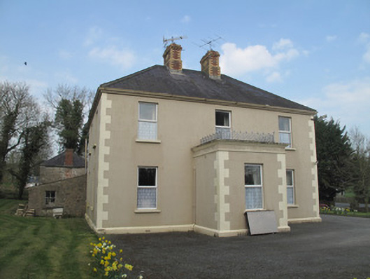 Saint Joseph'spresbytery/parochial/curate's house · 925 yd
 Hilltop enclosure in Cavan (cope)Hilltop enclosure · 1376 yd
 St. Muadain's WellSpring · 1.3 mi
 Emyvale Heritage TrailVisitor information · 2.2 mi
 RAVELLA CASTLE:HOUSE AND BAWN in RavellaRAVELLA CASTLE:HOUSE AND BAWN · 3.4 mi
 Coolberrin HillMountain / peak · 3.8 mi
 Derrygorry WoodForest · 4.3 mi
 MEDIEVAL PARISH CHURCH; GRAVEYARD also SITE OF C13th BATTLE: CARNTEEL CHURCH in CarnteelMEDIEVAL PARISH CHURCH; GRAVEYARD also SITE OF C13th BATTLE: CARNTEEL CHURCH · 4.5 mi
 Sitka SpruceSitka Spruce · 4.5 mi
 MEDIEVAL CHURCH & GRAVEYARD: AGHALOO CHURCH in RouskyMEDIEVAL CHURCH & GRAVEYARD: AGHALOO CHURCH · 4.6 mi