What is recorded here
Mullaghroe Upper held a forty-metre earthen ring until about 1960, when quarrying and ploughing erased the bank and fosse. The earth swallowed a place that resisted mapping for a century, then vanished in a single generation. What remained was not even a ruin but a faint curve on old paper, a ghost of a boundary drawn by hands no longer living to defend it.
Although not recorded on the 1st. ed. (1838) of the OS 6-inch map, the curving NW-quadrant of a raised area (est. radius c. 40m) is shown on the 1939 Revision, just N of an area of quarrying. By 1972, the feature had been levelled, but slight traces of a fosse survived along the W. According to local information, a bank and fosse here were levelled c. 1960 (SMR file). On the lower slope, near the foot of a short, moderately steep-sided pasture ridge. No visible surface trace of the fosse survives. The site may have been a ringfort.
Compiled by: Gearóid Conroy
Date of upload: 20 October 2011
The monument record does not grant public access. Check the route and ask the landowner before entering private land.
- What survives
- Recorded monument
Places near here
 Enclosure in Mullaghroe UpperEnclosure · 313 yd
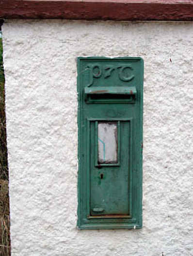 post boxpost box · 666 yd
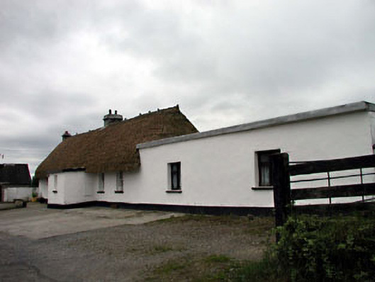 farm housefarm house · 703 yd
 Enclosure in MountriceEnclosure · 1059 yd
 Bawn in Lackagh BegBawn · 2.2 mi
 Offaly CastleCastle, tower house · 2.6 mi
 Lodge GroveWood · 2.7 mi
 European YewEuropean Yew · 3.0 mi
 Bithia Mary CrokerMemorial · 3.7 mi
 Bog Lake WalkWalking route · 6.2 mi
 Derryounce Walk (Yellow Loop)Walking route · 6.2 mi
 The Fairy BowerHeritage attraction · 7.5 mi