What is recorded here
Fairy fort in Mullaghavorneen, County Longford: a 28.6m earthen ring on a pasture slope, its low banks and faint ditch partly swallowed by field edges. People may have lived there, marked their gate to the south, and left the rest behind. The fairies, according to local story, took what remained and made the fort their own.
On a SSW-facing slope in pasture. A raised circular area (diam. 28.6m) enclosed by a much-denuded, low bank of earth and stone (Wth 5.8m; H 0.1-0.55m) with fragmentary traces of a shallow intervening fosse (Wth 4.6m; D 0.9m) and an outer bank (Wth 3.9m; H 0.1-0.45m) from ENE–S–NNW. The inner bank is incorporated into a field bank from SSW–W–NNW, while the outer bank is incorporated into another field bank from SSE–S–SSW. Both banks and the fosse have been levelled from NNE–NE–ENE. A modern entrance at S may mark the location of the original one.
Compiled by: Patrick F. O'Donovan
Date of upload: 17 January 2012
The monument record does not grant public access. Check the route and ask the landowner before entering private land.
- What survives
- Recorded monument
Places near here
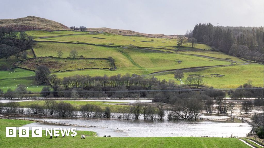 Fulacht fia in MullaghavorneenFulacht fia · 247 yd
 Burnt spread in MullaghavorneenBurnt spread · 303 yd
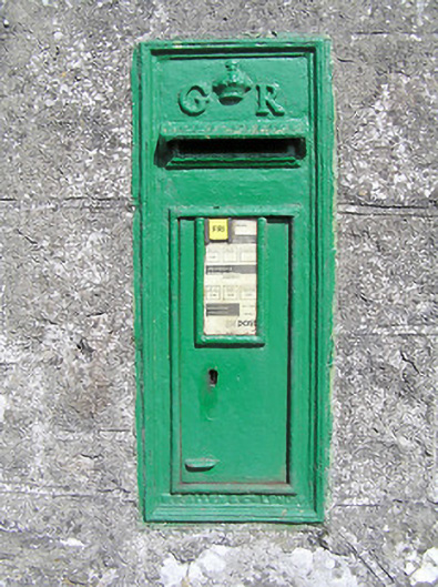 post boxpost box · 903 yd
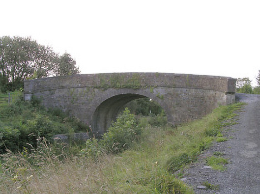 Knockanboy Bridgebridge · 1190 yd
 Graveyard in Curry (ardagh By., Coolamber Ed)Graveyard · 1.3 mi
 First World War MemorialMemorial · 1.5 mi
 Saint Mel's CathedralCathedral · 1.6 mi
 Bawn in AbbeycartronBawn · 1.8 mi
 Bawn Castle & NunneryHouse, fortified house · 2.5 mi
 Commons North WalkVisitor information · 7.9 mi
 Wild birdsVisitor information · 8.0 mi
 White Sand WoodWood · 8.2 mi