What is recorded here
Located towards the NW end of a NW-SE ridge and at its highest point which was known as Chapel Hill (OS 1835 6-inch map) because of the Roman Catholic chapel at the roadside c. 100m to the N. The cropmark of a circular enclosure (diam. c. 30-35m) defined by a single fosse feature was recorded by Joseph McMahon on a drone-mounted camera in August 2018. It is also visible as a cropmark on the OSI aerial images (1995).
See the attached view from the NE, courtesy of Joseph McMahon.
Compiled by: Michael Moore
Date of upload: 12 September 2018
The monument record does not grant public access. Check the route and ask the landowner before entering private land.
- What survives
- Recorded monument
Places near here
 Saint Fursey's Catholic Churchchurch/chapel · 440 yd
 Enclosure in MullagharlinEnclosure · 464 yd
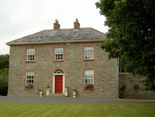 Marlmount Househouse · 535 yd
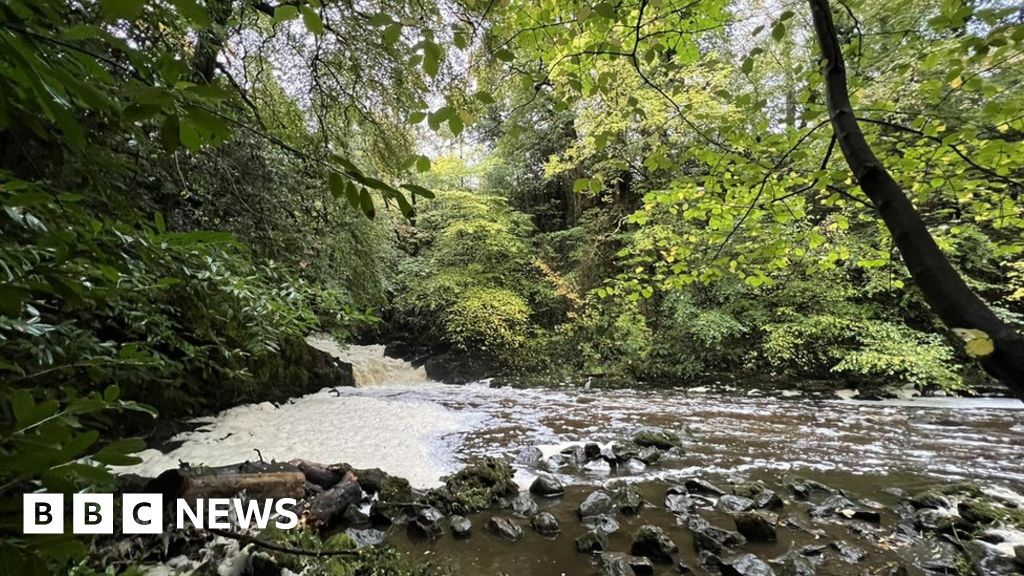 Fulacht fia in CrumlinFulacht fia · 631 yd
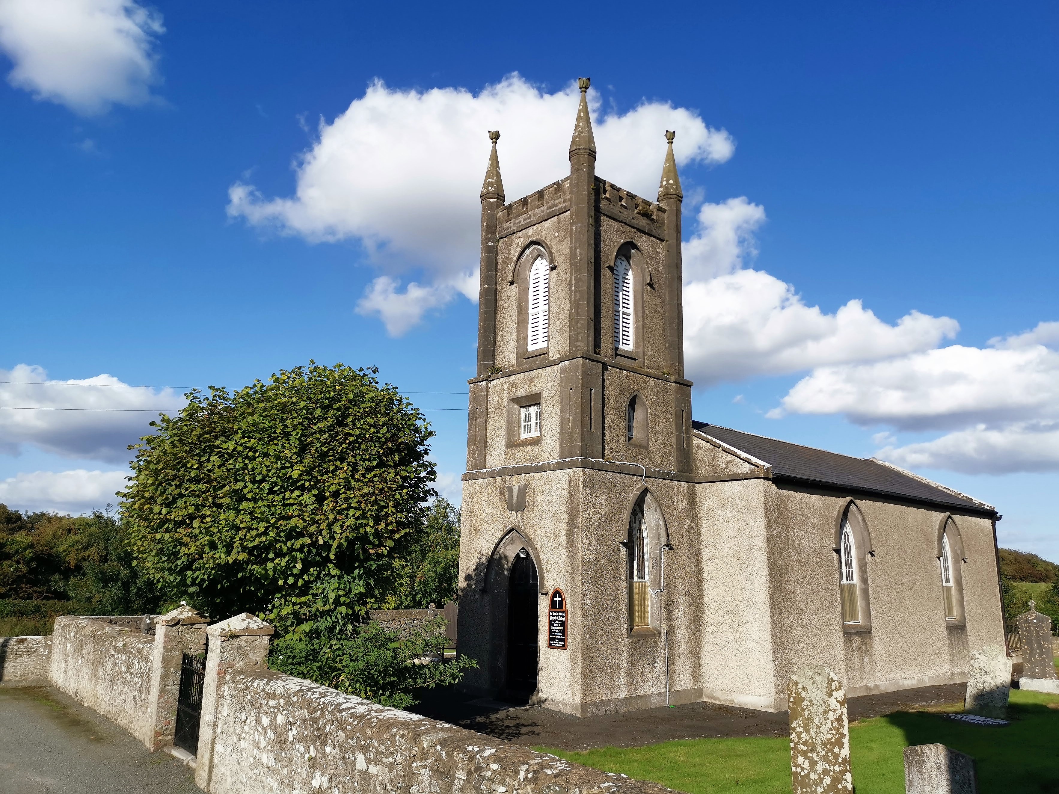 CastleCastle, tower house · 1513 yd
 IndicatedCastle, unclassified · 1595 yd
 Broad WoodForest · 1.3 mi
 BallybarrackMountain / peak · 1.4 mi
 Long WoodForest · 1.4 mi
 Photo GalleryHeritage attraction · 2.2 mi
 Dundalk CentralHeritage attraction · 2.2 mi
 Bombing 1975Memorial · 2.3 mi