What is recorded here
Located on a natural gravel ridge in undulating countryside. Depicted as a circular enclosure on the 1838 ed. of the OS 6-inch map. This site is very overgrown making detailed examination of the site impossible. Only the S portion of the possible ringfort is visible. From this side the site appears to consist of a low flat circular platform (approx. diam. 25m E-W) defined by a scarp enclosed by a shallow fosse with slight evidence of an external bank. The hill is known locally as the Fairy Hill (Offaly Historical Archaeological Society fieldnotes, 1974). Possible ringfort.
The above description is derived from the published 'Archaeological Inventory of County Offaly' (Dublin: Stationery Office, 1997). In certain instances the entries have been revised and updated in the light of recent research.
Date of upload/revision: 28 December 2011
The monument record does not grant public access. Check the route and ask the landowner before entering private land.
- What survives
- Recorded monument
Places near here
 IndicatedQuarry · 434 yd
 Ballyduff WoodForest · 922 yd
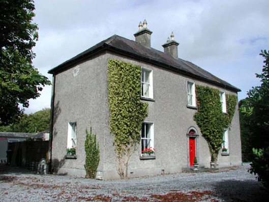 Moor Hillhouse · 1005 yd
 Enclosure in Ballydrohid,ballynagh,srah (ballycowan By.)Enclosure · 1757 yd
 Bawn in BallydrohidBawn · 1.0 mi
 Srah CastleRuins · 1.0 mi
 Ritual siteRitual site, holy tree/bush · 1.1 mi
 Grand Canal WayWalking route · 1.6 mi
 Pedunculate OakPedunculate Oak · 1.8 mi
 Christ's WellSpring · 1.8 mi
 St. Columba's WellSpring · 2.6 mi
 Trumpet HillMountain / peak · 3.0 mi