What is recorded here
Muchwood holds a broken oval fort where a quarry bit through the seam, leaving a grassy ridge marked by a sharp scarp and a narrow causeway across a forgotten ditch. The 1836 map called it a fort, but the fairies keep the name because humans keep forgetting the shape. What remains is enough to show that the ridge once belonged to someone who lived there, defended it, and disappeared into the story.
Situated on a slight NW-SE ridge. It is depicted as an oval embanked enclosure (ext. dims c. 50m NW-SE; c. 30m NE-SW) only on the 1836 edition of the OS 6-inch map where it is described as a ‘Fort’. This is a raised oval and grass-covered area (dims 37m NW-EE; 25m NE-SW) defined by a scarp (at NW: Wth 3.5m; ext. H 2.5m) SW-N-E and by a fosse (Wth of top 5; Wth of base 2m; D 0.75m) across the ridge at E-SE (L c. 15m). An old grass-covered quarry has destroyed the perimeter SE-W. There is an entrance causeway (Wth of top 1.5m; H 0.4-0.7m) across the fosse at SE.
The above description is derived from the published 'Archaeological Inventory of County Meath' (Dublin: Stationery Office, 1987). In certain instances the entries have been revised and updated in the light of recent research.
Compiled by: Michael Moore
Date of revision: 5 July 2019
The monument record does not grant public access. Check the route and ask the landowner before entering private land.
- What survives
- Recorded monument
Places near here
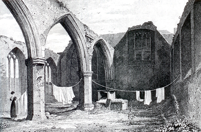 Portlester Ho.Castle, unclassified · 1.1 mi
 Ruinis of Clonee ChurchChurch · 1.1 mi
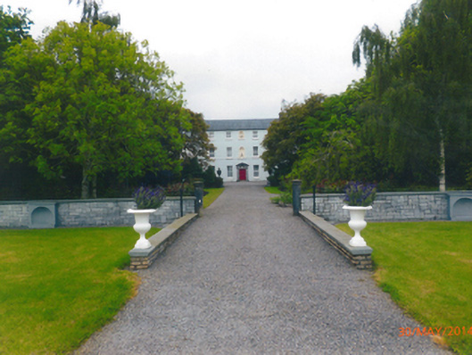 Parkstown Housecountry house · 1.2 mi
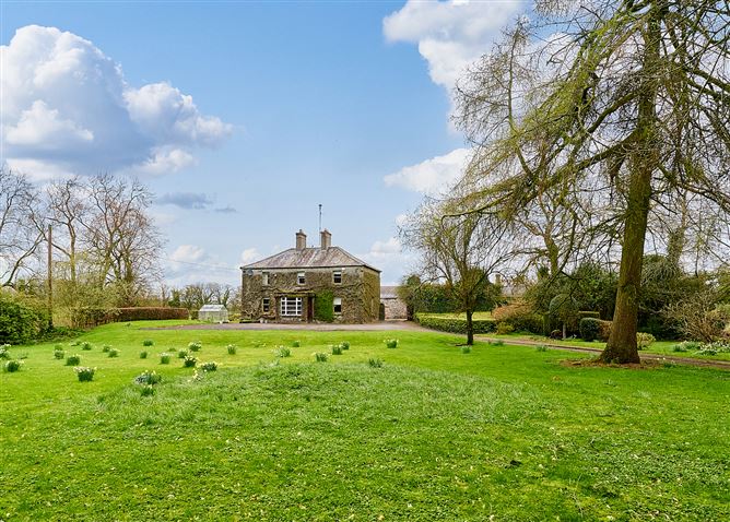 Enclosure in CrossanstownEnclosure · 1.9 mi
 CastleCastle, tower house · 1.9 mi
 EnclosureEnclosure, large enclosure · 1.9 mi
 European BeechEuropean Beech · 2.4 mi
 Common LimeCommon Lime · 2.4 mi
 Croppies' GraveMemorial · 6.2 mi
 Cloncurry GraveyardHeritage attraction · 9.4 mi
 Old Bog Road made famous by Teresa Bryton 1868-1943Memorial · 10 mi
 The New Line RoadMemorial · 11 mi