
What is recorded here
Located on a gently undulating landscape. A large grass-covered enclosure (max. dims c. 105m E-W; c. 85m N-S) defined by a fosse (max. Wth c. 6m at SE) is visible on Google Earth (17/01/2020; 25/04/2021). It is also visible on Apple Maps, and it was first reported by Jean Charles Caillére.
See the attached enhanced aerial view from Google Earth (17/01/2020)
Compiled by: Michael Moore
Date of upload: 11 October 2021
The monument record does not grant public access. Check the route and ask the landowner before entering private land.
- What survives
- Recorded monument
Places near here
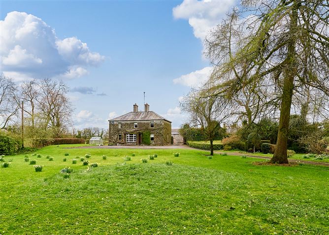 Enclosure in CrossanstownEnclosure · 1070 yd
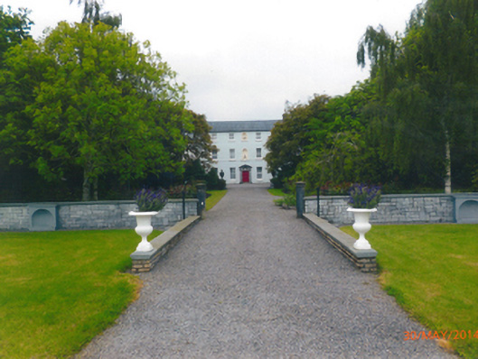 Parkstown Housecountry house · 1699 yd
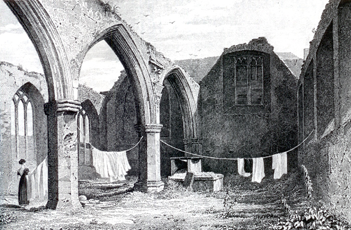 Portlester Ho.Castle, unclassified · 1.1 mi
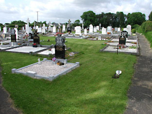 graveyard/cemeterygraveyard/cemetery · 1.3 mi
 IndicatedFairy fort / earthen ringfort · 1.3 mi
 MoatCastle, motte and bailey · 1.6 mi
 FraineMountain / peak · 3.6 mi
 ScregganWood · 3.7 mi
 European BeechEuropean Beech · 4.2 mi
 Croppies' GraveMemorial · 8.0 mi
 The New Line RoadMemorial · 9.7 mi
 BohermeenMountain / peak · 9.8 mi
Other information
Photo: Credit not shown in the picture search · Rights wording not checked; contact us if this picture should be removed