What is recorded here
Fairy fort / earthen ringfort in Moyvannan is a fairy fort or earthen ringfort in Moyvannan, County Roscommon, Ireland. The circular overgrown area measures about 39.7m NNW-SSE and 36.7m ENE-WSW, defined by an earthen bank reaching 6.5m wide and 1.85m high externally at its best-preserved NNW section. Slight traces of a fosse appear NW-E, while the remainder of the perimeter has reduced to a low scarp obscured with spoil. Another earthwork lies roughly 40m to the NE on the same undulating landscape.
On an undulating landscape. Circular overgrown area (diam. 39.7m NNW-SSE; 36.7m ENE-WSW) defined by an earthen bank (at NNW: Wth 6.5m; int. H 0.75m; ext. H 1.85m) NW-E with slight traces of a fosse (Wth of base 2m) best preserved NNW-N, but the perimeter is reduced to a scarp (H c. 0.7m) obscured with spoil elsewhere. The original entrance is cannot be identified. Earthwork (RO048-045----) is c. 40m to the NE.
Compiled by: Michael Moore
Date of upload: 24 August 2010
The monument record does not grant public access. Check the route and ask the landowner before entering private land.
- What survives
- Recorded monument
Places near here
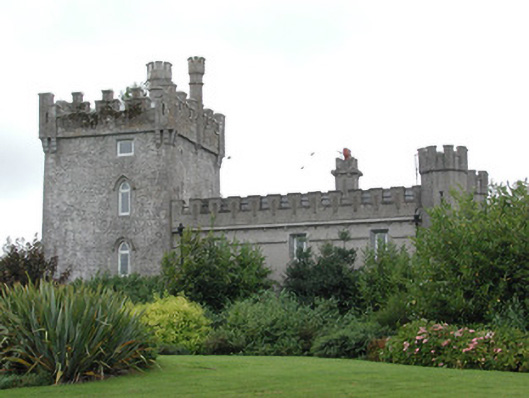 Moyvannan Castlecountry house · 159 yd
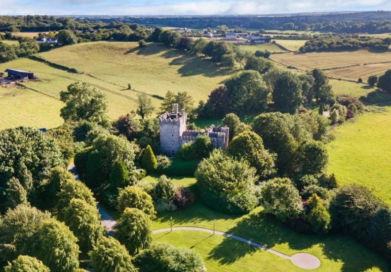 IndicatedFairy fort / earthen ringfort · 331 yd
 Newpark Housecountry house · 897 yd
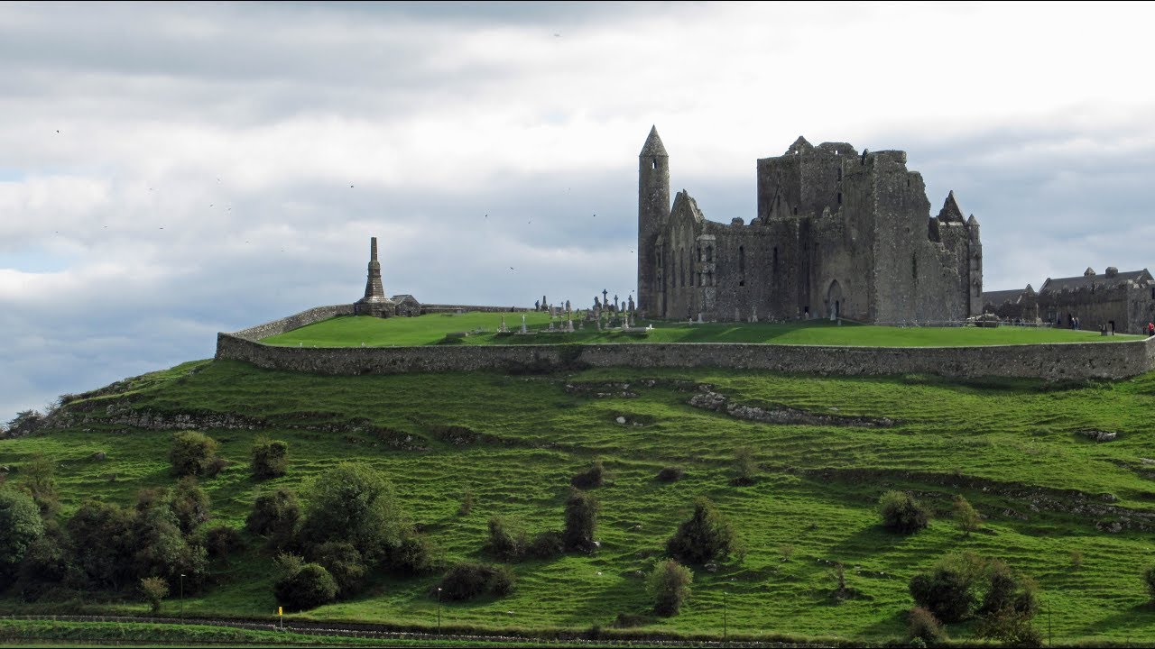 Mass-rock in KiltoomMass-rock · 1206 yd
 Carnagh BayBay · 1.2 mi
 Long IslandIslet · 1.4 mi
 Little IslandIslet · 1.5 mi
 Bally BayBay · 1.6 mi
 Curraghboy CastleCastle, unclassified · 2.9 mi
 RindoonWood · 4.1 mi
 Rindown CastleCastle, Anglo-Norman masonry castle · 4.2 mi
 Siege of Athlonesiege · 4.8 mi