What is recorded here
Fortmill and Moyra hide a circular fort beneath low pasture, visible only on old survey drawings rather than modern maps or ground truth. That disappearance suits a fairy fort, where human boundaries blur and forget. The land may still remember the shape even when people stop looking for it.
In low-lying pasture. Depicted as a roughly circular enclosure with the designation 'Fort' on the OS Fair Plan. Not marked on subsequent eds. of the OS 6-inch map. The monument is not visible at ground level.
Compiled by: Patrick F. O'Donovan
Date of upload: 26 August 2011
The monument record does not grant public access. Check the route and ask the landowner before entering private land.
- What survives
- Recorded monument
Places near here
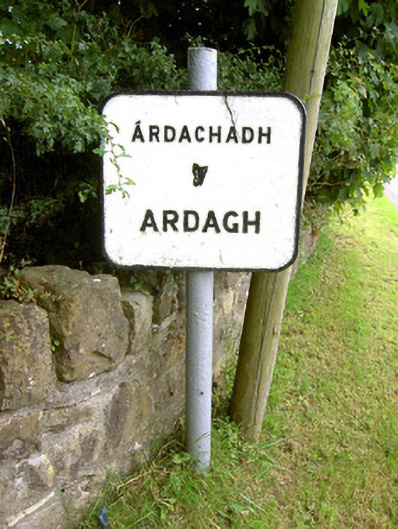 sign postsign post · 438 yd
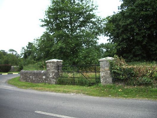 demesne walls/gates/railingsdemesne walls/gates/railings · 439 yd
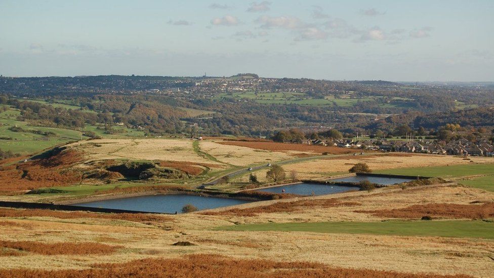 Enclosure in MoorEnclosure · 888 yd
 Ardagh Clock TowerMonument · 934 yd
 Ardagh DemesneFort · 1228 yd
 Druming Ho. (in ruins)Castle, unclassified · 1.2 mi
 Oldtown CopseWood · 1.3 mi
 Oldtown DemesneForest · 1.4 mi
 National Famine WayWalking route · 2.9 mi
 Graveyard in Curry (ardagh By., Coolamber Ed)Graveyard · 5.2 mi
 Saint Mel's CathedralCathedral · 5.4 mi
 First World War MemorialMemorial · 5.4 mi