What is recorded here
Noel and Conor Murphy showed Michael Moore a ghost circle in Moynasboy, where dry grass grew pale above a hidden ditch. The fort is not a rumour, though locals call it a fairy fort because people imagine the fairies took it from human memory. A thirty-five metre ring still turns the soil and light on a level field.
Situated on a level landscape. The cropmark of a circular enclosure (diam. c. 35m) defined by a single fosse feature is visible on aerial photographs (ME036-081_1, _2) taken in July 2018. It is also faintly visible on OSI aerial images (1995) and on Google Earth (14/07/2018).
See the attached view courtesy of Conor Murphy
Compiled by Michael Moore based on details provided by Noel and Conor Murphy.
Date of upload: 7 August, 2018
Amended: 12 June 2019
The monument record does not grant public access. Check the route and ask the landowner before entering private land.
- What survives
- Recorded monument
Places near here
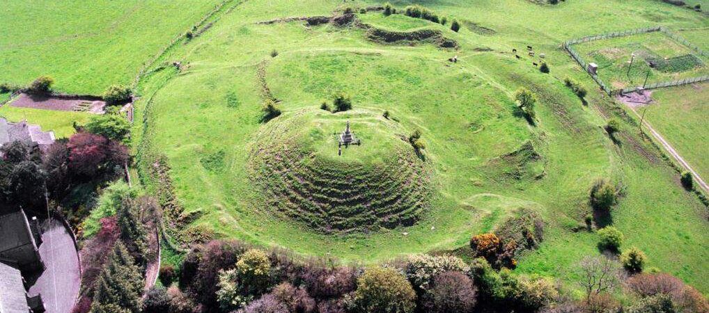 CastleCastle, motte · 1063 yd
 Font in LaracorFont · 1134 yd
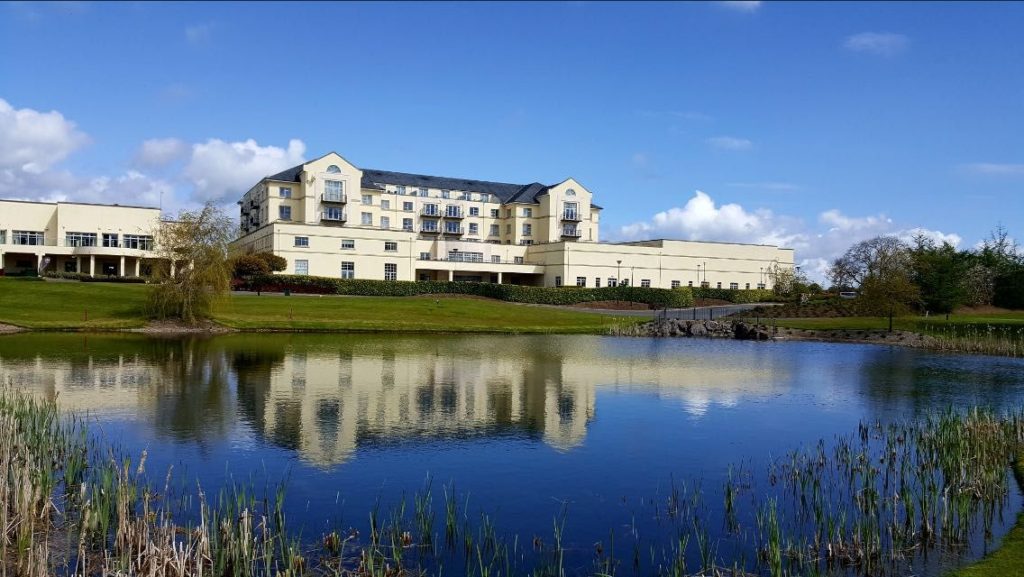 IndicatedFairy fort / earthen ringfort · 1151 yd
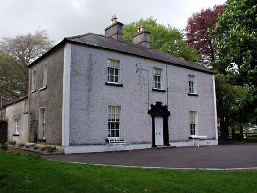 Fosterstown Housecountry house · 1605 yd
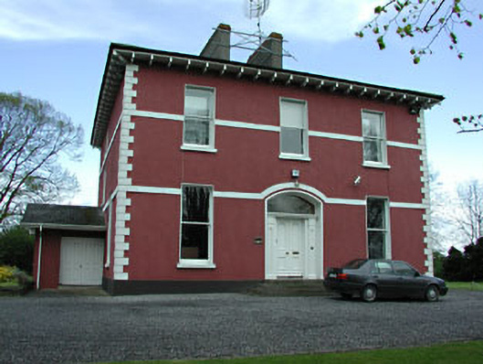 Mornington Househouse · 1.5 mi
 Trim CastleCastle, Anglo-Norman masonry castle · 1.8 mi
 Saints IslandForest · 2.5 mi
 European ashEuropean ash · 3.9 mi
 Old Bog Road made famous by Teresa Bryton 1868-1943Memorial · 7.6 mi
 Kilgar GardensHeritage attraction · 7.7 mi
 Cloncurry GraveyardHeritage attraction · 7.8 mi
 Croppies' GraveMemorial · 10 mi