What is recorded here
Fairy fort in Moynagh Upper, a ringfort forty-three metres across, still stands with two earthen banks and a hidden ditch. People called it a fairy fort because the shape defied ordinary sense, yet humans built it, lived there, and left the entrance buried under grass and forgetting. The field boundary swallowed part of the outer bank, but the circle remains clear enough to walk.
Raised circular area (int. diam. c. 43m) enclosed by two earthen banks with intermediate fosse. From NW-N the outer bank has been modified and incorporated into the field boundary and has been levelled from NE-E-SE. Fosse identifiable only from NW-N and at NE. Original entrance not recognisable.
The above description is derived from the published 'Archaeological Inventory of County Cavan' (Dublin: Stationery Office, 1995). In certain instances the entries have been revised and updated in the light of recent research.
Date of upload/revision: 22 December 2008
The monument record does not grant public access. Check the route and ask the landowner before entering private land.
- What survives
- Recorded monument
Places near here
 Moynagh Upper ForestForest · 801 yd
 IndicatedFairy fort / earthen ringfort · 1602 yd
 Church in Carrick (clanmahon By.)Church · 1714 yd
 R. C. ChapelChurch · 1.0 mi
 Carrick RockWood · 1.1 mi
 CarrickabaneMountain / peak · 1.2 mi
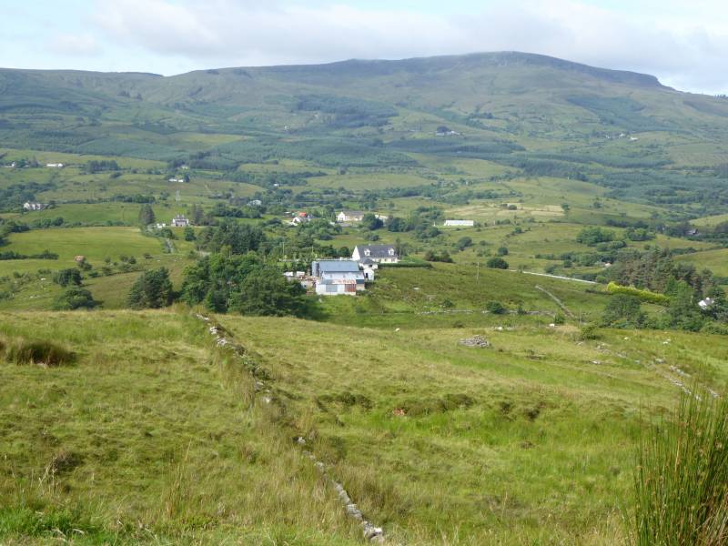 Tony FortArchaeological place · 1.2 mi
 CastleCastle, motte · 1.7 mi
 Aghakilmore LowerMountain / peak · 1.8 mi
 Sporting RockIslet · 1.8 mi
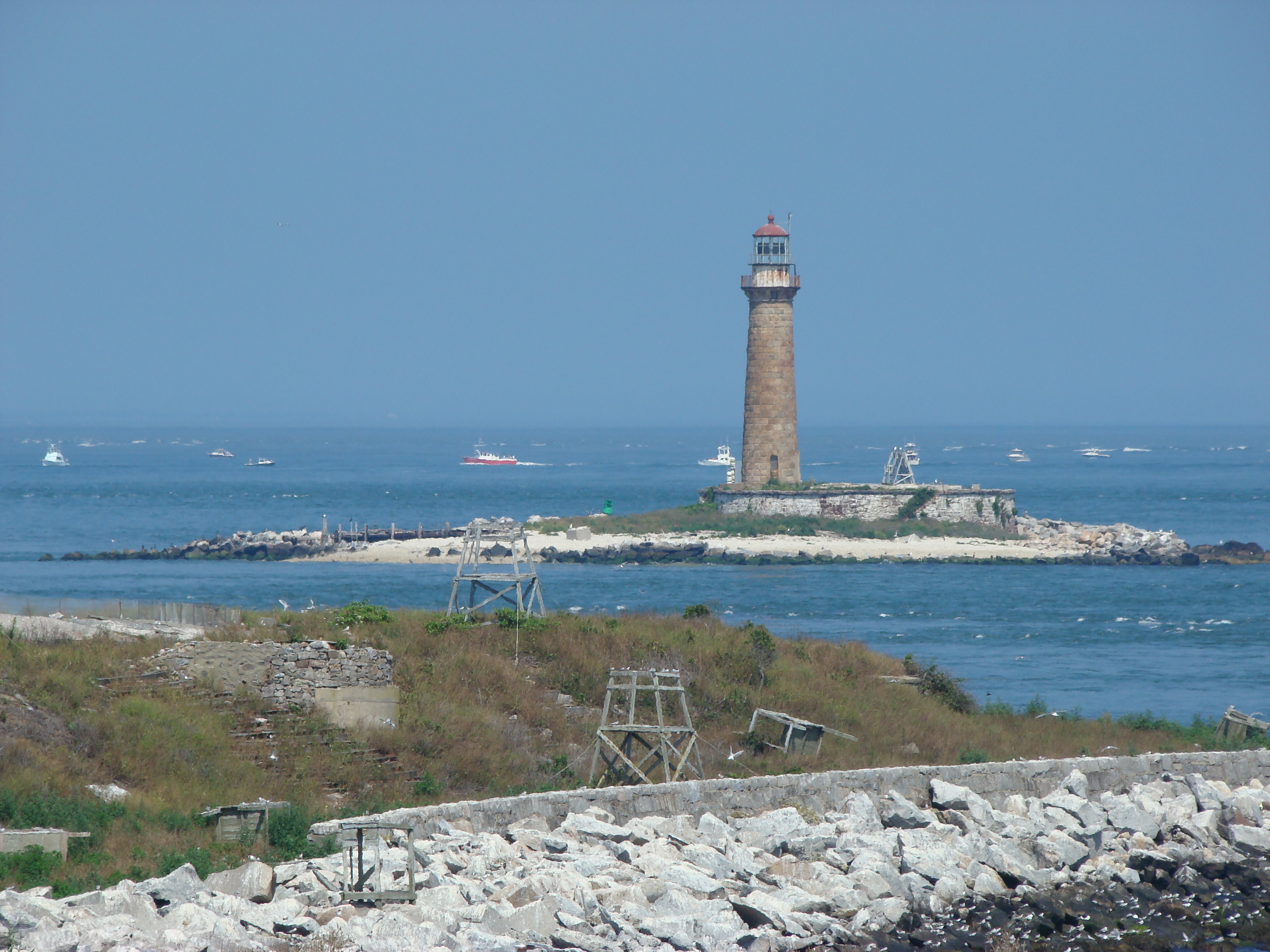 Gull IslandIslet · 1.9 mi
 IdicatedCastle, unclassified · 2.4 mi