What is recorded here
Fairy fort / earthen ringfort in Moymlough is a fairy fort or earthen ringfort in Moymlough, County Sligo, Ireland. It occupies damp pasture at the base of a north-facing slope and measures roughly thirty-three by thirty-one metres across. A road crosses the site north of centre, dividing the interior into two sections with earthen banks, fosses and degraded outer remains. Gorse, hawthorn and rushes mark parts of the structure, while field boundaries and a recent causeway interrupt the banks.
In pasture, straddling the base of a N-facing slope overlooking an expanse of damp pasture to N. A roughly circular level area (33.5m NW-SE; 31m NE-SW) enclosed by an earthen bank with an external fosse and the remnant of an outer bank. The rath is crossed N of centre by a WNW-ESE road, flanked by field boundaries. To S of the road the interior is defined SE-WNW by a substantial earthen bank (Wth 5m; int. H 1m; ext. H 1.4m) with an external fosse (Wth c. 5m, base 2.3m; D 0.9m). The bank is somewhat degraded and flattened on top, broadly slumped internally and obscured in parts by gorse and hawthorn bushes. The fosse is cut into rising ground and marked by a growth of rushes and partially infilled with field clearance debris at SE and SW. A break (Wth 3.2m) in the bank at SSW with a causeway across the fosse appears to be a recent feature. Breaks (Wth 2-3m) in the bank were also noted at SE and WNW at the intersection with the field boundary, bordering the road. To N of the road the interior is enclosed by a degraded earthen bank with a low internal rim (Wth 3m; int. H 0.1m; ext. H 1.5m), a shallow fosse (Wth 3m), marked by rushes, and a gapped, degraded outer bank (Wth 2.5-3m; int. H 0.65m; ext. H 0.45m).
The above description is derived from the published 'Archaeological Inventory of County Sligo' compiled by Ursula Egan, Elizabeth Byrne, Mary Sleeman with Sheila Ronan and Connie Murphy (Dublin Stationery Office, 2005).
Date of upload: 18 January 2008
The monument record does not grant public access. Check the route and ask the landowner before entering private land.
- What survives
- Recorded monument
Places near here
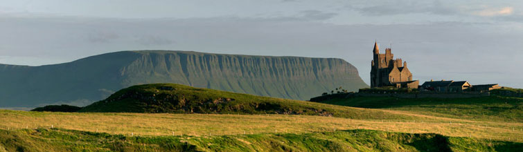 IndicatedFairy fort / earthen ringfort · 628 yd
 Enclosure in MoymloughEnclosure · 727 yd
 Moymlough Castle (in Ruins)Castle, tower house · 846 yd
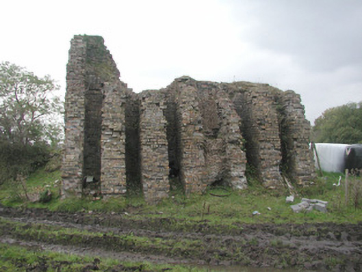 Coolaney Brick Workskiln · 1347 yd
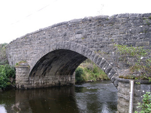 Billa Bridgebridge · 1.2 mi
 Tullaghan HillMountain / peak · 1.2 mi
 CroaghaunMountain / peak · 2.0 mi
 Castle (Site of)Castle, unclassified · 2.9 mi
 RinnatalleenHeadland · 3.3 mi
 European ashEuropean ash · 3.5 mi
 Teeling MonumentMemorial · 3.7 mi
 Battle of Collooneybattle · 3.7 mi