What is recorded here
Situated on a small prominent round topped hillock on the S facing slope of a small kidney-shaped ridge, in undulating grassland. A sub-circular shaped area (approx. diam. 32m N-S; 35m E-W) enclosed by two earthen banks separated by an intervening fosse and external fosse. The site has been disturbed by post-1700 quarrying associated with lime-kiln built into SW quadrant of earthwork. This lime-kiln is depicted on the 1837 ed. OS 6-inch map. Traces of cultivation ridges are visible running E-W across the interior. A roadway running E-W intersects the S perimeter of the monument as depicted on the 1837 ed. OS 6-inch map.
See attached section of monument surveyed and drawn by the ASI.
Compiled by: Frank Coyne and Caimin O'Brien
Date of upload: 28 April 2017
The monument record does not grant public access. Check the route and ask the landowner before entering private land.
- What survives
- Recorded monument
Places near here
 Moneen WoodWood · 726 yd
 Beggarbush WoodWood · 793 yd
 Drewstown LittleMountain / peak · 956 yd
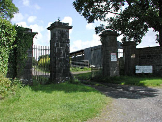 Drewstown Housedemesne walls/gates/railings · 1124 yd
 Church (in ruins)Church · 1589 yd
 IndicatedEnclosure · 1.4 mi
 Enclosure in GreenanstownEnclosure · 1.8 mi
 CastleCastle, motte · 1.8 mi
 Bawn in Heathstown (delvin By.)Bawn · 2.0 mi
 Causey FarmHeritage attraction · 2.0 mi
 FarmaphobiaHeritage attraction · 2.0 mi
 CloncatMountain / peak · 2.2 mi