What is recorded here
Fairy fort in Mountpotter, County Galway: a worn earth ring, wide east to west and shallower north to south, set in low grassland. Its bank and steep inside scar still mark most of the circle, while a gap at the south east may be the entrance people once used. The name suggests locals believed it belonged to fairies rather than ordinary tenants, and that belief may have kept the ring untouched long after its human purpose faded.
In low-lying grassland. Poorly preserved subcircular rath (E-W 36.5m, N-S 29.5m) defined by a bank and by a scarp from NE to E. A gap at SE may be original.
The above description is derived from the published 'Archaeological Inventory of County Galway Vol. II - North Galway'. Compiled by Olive Alcock, Kathy de hÓra and Paul Gosling (Dublin: Stationery Office, 1999).
Date of upload: 05 August 2010
The monument record does not grant public access. Check the route and ask the landowner before entering private land.
- What survives
- Recorded monument
Places near here
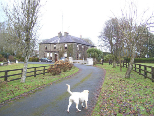 Mayfield Househouse · 815 yd
 Enclosure in SlievedarraghEnclosure · 1012 yd
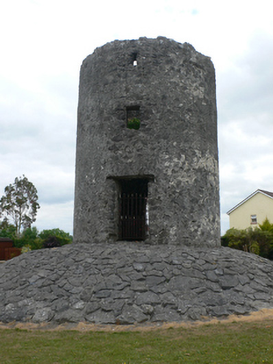 mill (wind)mill (wind) · 1471 yd
 Site of TemplenascreenChurch · 1.1 mi
 CastleCastle, unclassified · 1.1 mi
 Castle (in ruins)Castle, tower house · 1.8 mi
 European ashEuropean ash · 2.0 mi
 Mass RockNamed rock · 3.6 mi
 KnockmaaWood · 6.0 mi
 Kilcoona Round TowerHeritage attraction · 9.8 mi
 Ballinduff BayBay · 12 mi
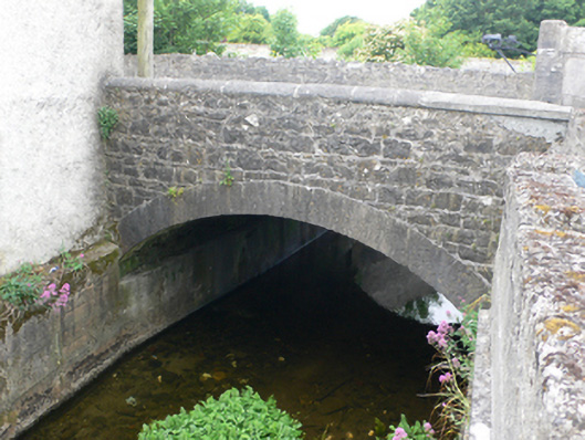 bridgebridge · 1752 yd