What is recorded here
Two low earthen banks and a shallow ditch still circle a raised grass field in Mountpallas, marking a home or stronghold from the distant past. The eastern bank has worn flat and the entrance has vanished, yet the round shape remains clear enough to walk inside and imagine the lives that moved through it. People later called it a fairy fort, perhaps because the true owners and dates had already slipped from memory.
Raised circular area (int. diam. c. 53m) enclosed by two low, wide earthen banks with a wide, shallow intermediate fosse. Outer bank has been defaced at E. Original entrance not recognisable.
The above description is derived from the published 'Archaeological Inventory of County Cavan' (Dublin: Stationery Office, 1995). In certain instances the entries have been revised and updated in the light of recent research.
Date of upload/revision: 22 December 2008
The monument record does not grant public access. Check the route and ask the landowner before entering private land.
- What survives
- Recorded monument
Places near here
 Mass-rock in Dungummin LowerMass-rock · 1176 yd
 CastleCastle, ringwork · 1351 yd
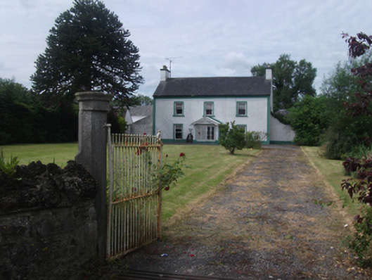 Lisnabrin Housefarm house · 1400 yd
 IndicatedFairy fort / earthen ringfort · 1629 yd
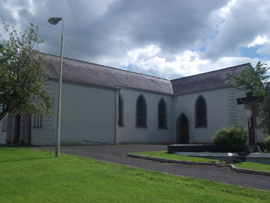 St Brigid's Roman Catholic Churchchurch/chapel · 1648 yd
 Bob's GroveForest · 1.4 mi
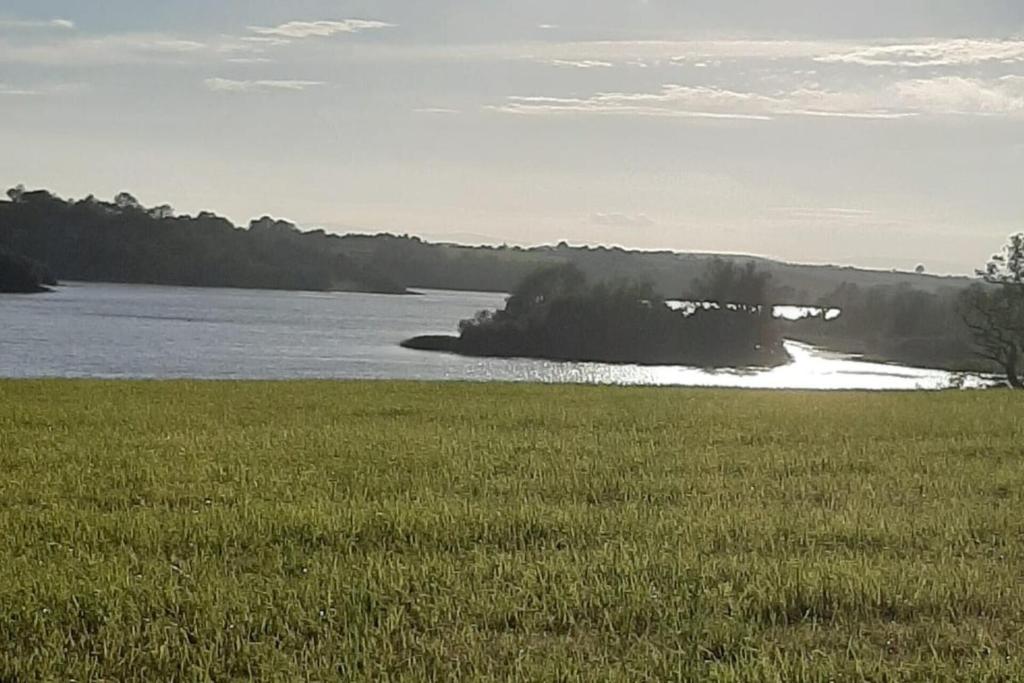 Dinner IslandIslet · 2.0 mi
 Wall IslandIslet · 2.0 mi
 Crover Old Castle (in Ruins)Castle, tower house · 2.0 mi
 In Loving Memory of Killian CaseyMemorial · 2.2 mi
 Ross BayBay · 3.0 mi
 Muldarry PointHeadland · 3.1 mi