What is recorded here
In rough pasture, on top of the W side of a ridge. A circular area (18m N-S; 20m E-W) enclosed by an eroded earth and stone bank (Wth 2.5m; int. H 1.1m; ext. H 0.9m) with a revetment of stones evident intermittently along the base of the internal face of the bank. The bank is incorporated into a field boundary S-W. A band of rushes (Wth. c. 2m) NW-ESE probably indicates the line of a silted-up external fosse.
The above description is derived from the published 'Archaeological Inventory of County Sligo' compiled by Ursula Egan, Elizabeth Byrne, Mary Sleeman with Sheila Ronan and Connie Murphy (Dublin Stationery Office, 2005).
Date of upload: 18 January 2008
A fairy fort / earthen ringfort in Mount Town is a circular early-medieval defensive or domestic site, likely dating to between the 5th and 10th centuries AD. Local tradition associates such sites with fairy lore, and they were often avoided due to beliefs in supernatural inhabitants.
The monument record does not grant public access. Check the route and ask the landowner before entering private land.
- What survives
- Recorded monument
Places near here
 IndicatedEnclosure · 334 yd
 Penitential station in CoollemoneenPenitential station · 494 yd
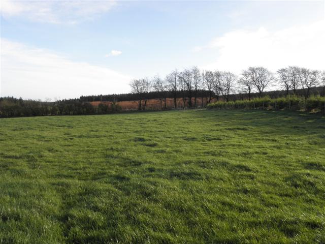 LisglassFairy fort / earthen ringfort · 821 yd
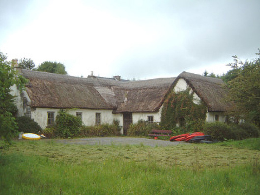 Nasool Cottagehouse · 1.1 mi
 CastleCastle, motte and bailey · 1.2 mi
 Barroe NorthMountain / peak · 1.7 mi
 Geevagh Prisoners 1908 MemorialMemorial · 2.2 mi
 Ballindoon Castle (in Ruins)Castle, unclassified · 2.5 mi
 Carrane HillCliff · 2.9 mi
 InishmoreIslet · 3.1 mi
 Annaghgowla IslandIslet · 3.2 mi
 Loughbrick BayBay · 3.6 mi