What is recorded here
Moskeagh holds a thirty-three metre fairy fort where a shallow ditch still shadows the eastern and western grass. People walked past it for centuries, perhaps fearing the fairies more than they wanted to know the truth. The Kill field keeps its edge around the ring instead of cutting through it, as if human law still bowed to something older.
In level ground in gently undulating pasture; the land slopes down to the N beyond the rath. Indicated as a circular 'Danes Fort' on a 1775 map (no. 26) by B. Scalé (private collection). A roughly circular area (diam. c. 33m N-S; c. 25m E-W) defined by a low grass-covered rise. A shallow depression outside the low rise appears to indicate the former presence of a fosse along the E and W sectors. A field boundary running roughly NE-SW to the SE-S of the rath curves to respect it. The rath is locally known as the 'fairy fort' and the field in which it stands is known as the 'Kill field'.
The above description is derived from 'The Archaeological Inventory of County Cork. Volume 5' (Dublin: Stationery Office, 2009).
Date of upload: 22 December 2009
The monument record does not grant public access. Check the route and ask the landowner before entering private land.
- What survives
- Recorded monument
Places near here
 Fulacht FiadhFulacht fia · 654 yd
 Man-made underground passage in Kilbarry (kinalmeaky By.)Man-made underground passage · 1215 yd
 St Martin's Church of Ireland Churchchurch/chapel · 1550 yd
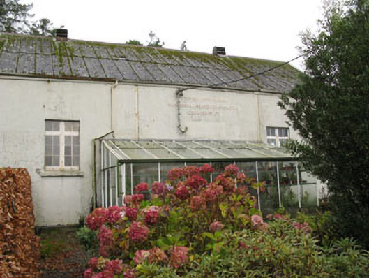 Templemartin Creamerycreamery · 1601 yd
 Mount Pleasant WoodWood · 1.4 mi
 Castle Nalacht, site ofCastle, unclassified · 1.7 mi
 Towers (in Ruins)House, fortified house · 1.9 mi
 Michael Collins MemorialMemorial · 3.0 mi
 Pedunculate OakPedunculate Oak · 3.3 mi
 Independence MuseumMuseum · 4.7 mi
 Bandon War MemorialMemorial · 4.9 mi
 Kilmurry WoodsPicnic place · 5.0 mi