What is recorded here
Morenane holds a broken fairy fort where a farm track cut through ancient earth. The remaining scarped edge stands one and a half metres high across eight metres, marking a thirty-four metre circle now reduced to pasture and gorse. What was once a complete embanked enclosure has been levelled by ordinary use, leaving only a curved wound in the low hill.
In pasture, atop low hill. Monument, depicted as embanked circular enclosure (diam. c. 35m) on 1924 OS 6-inch map, has been levelled except for scarped edge (H 1.55m; Wth 8m) defining arc of circular area SW->NNE (diam. 34m SW-NNE). At NNE scarp truncated by recently constructed farm track (axis N-S). Immediately S of SW end of scarp is area of rock outcrop covered by gorse. Interior, in pasture, slopes down gently to N.
Compiled by: Denis Power
Date of upload: 26 August 2011
The monument record does not grant public access. Check the route and ask the landowner before entering private land.
- What survives
- Recorded monument
Places near here
 Burial Gd. for ChildrenChildren's burial ground · 519 yd
 Enclosure in Kilmore DemesneEnclosure · 1501 yd
 Castle (in ruins)Castle, unclassified · 1619 yd
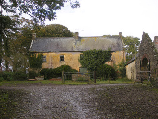 Dollas Housefarm house · 1625 yd
 IndicatedCountry house · 1634 yd
 CastleCastle, unclassified · 1.8 mi
 KnockfeerinaMountain / peak · 2.3 mi
 Kinnoor WellSpring · 2.5 mi
 Famine stoneMemorial · 2.9 mi
 Dysert AenghusaHeritage attraction · 3.0 mi
 European ashEuropean ash · 3.1 mi
 Biodiversity in the Maigue CatchmentVisitor information · 3.3 mi