What is recorded here
Moreagh holds a forty-metre earthen ring where a farmhouse now bites into the outer bank. The south gap remains wide enough for carts, horses or running children, while the road still skirts the ancient edge. Human hands built the circle before fairy labels arrived, yet the flat pasture and sudden bank keep the place half-remembered.
In lowlying pasture land, S of Bandon River. Roughly circular area (40m N-S) enclosed by earthen bank (H 1.3m). Gap in bank to S (Wth 4.5m). Farmhouse cuts into outer bank face to SE; road skirts bank to S.
The above description is derived from the published 'Archaeological Inventory of County Cork. Volume 1: West Cork' (Dublin: Stationery Office, 1992). In certain instances the entries have been revised and updated in the light of recent research.
Date of upload/revision: 14 January 2009
A fairy fort or earthen ringfort in Moreagh, likely an early-medieval defensive or domestic site, is associated with local folklore of faeries and otherworldly beings. The structure's earthworks and positioning suggest long-standing cultural and possibly ritual significance in the region.
The monument record does not grant public access. Check the route and ask the landowner before entering private land.
- What survives
- Recorded monument
Places near here
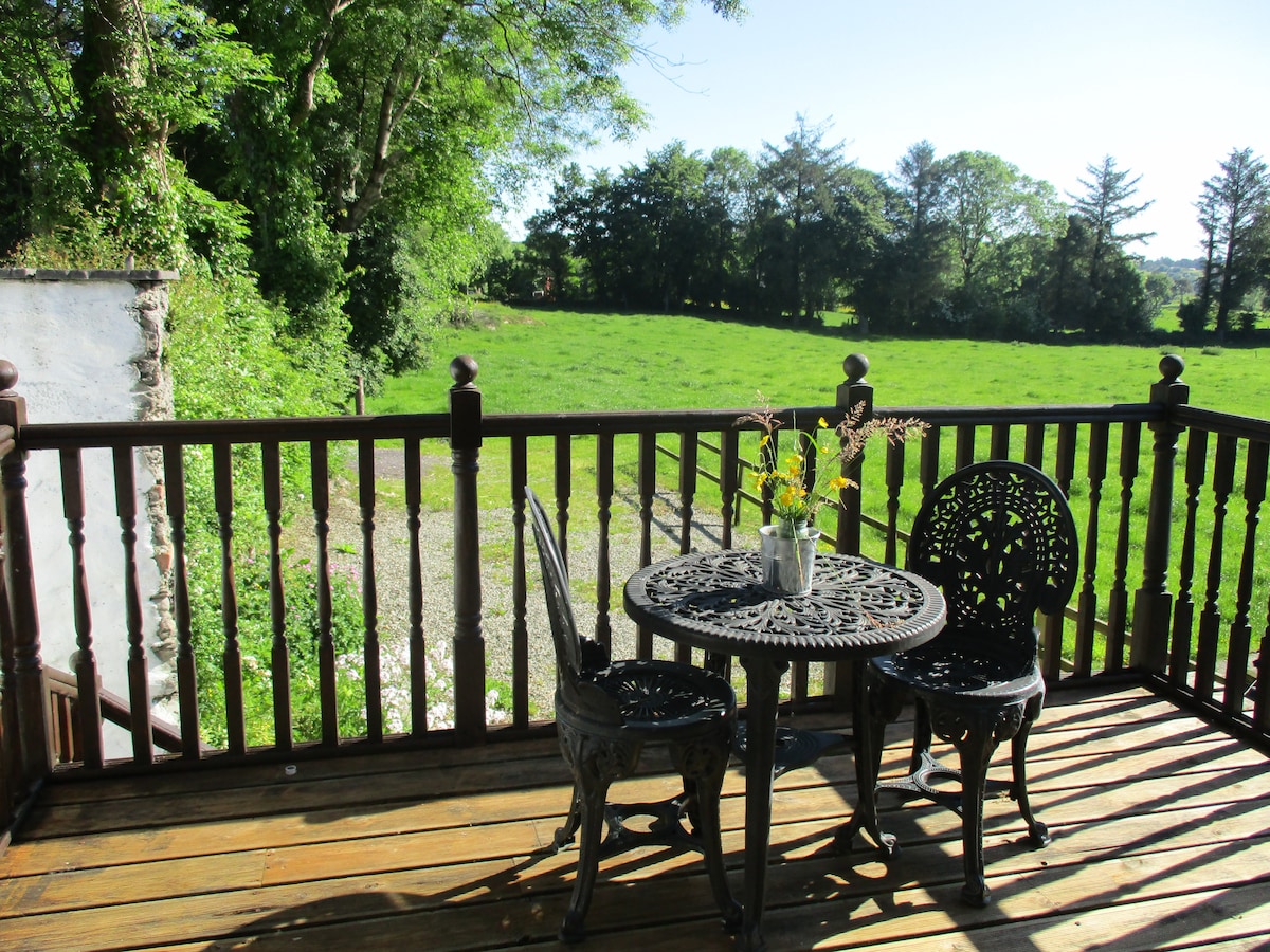 Pit in BallyhalwickPit · 1542 yd
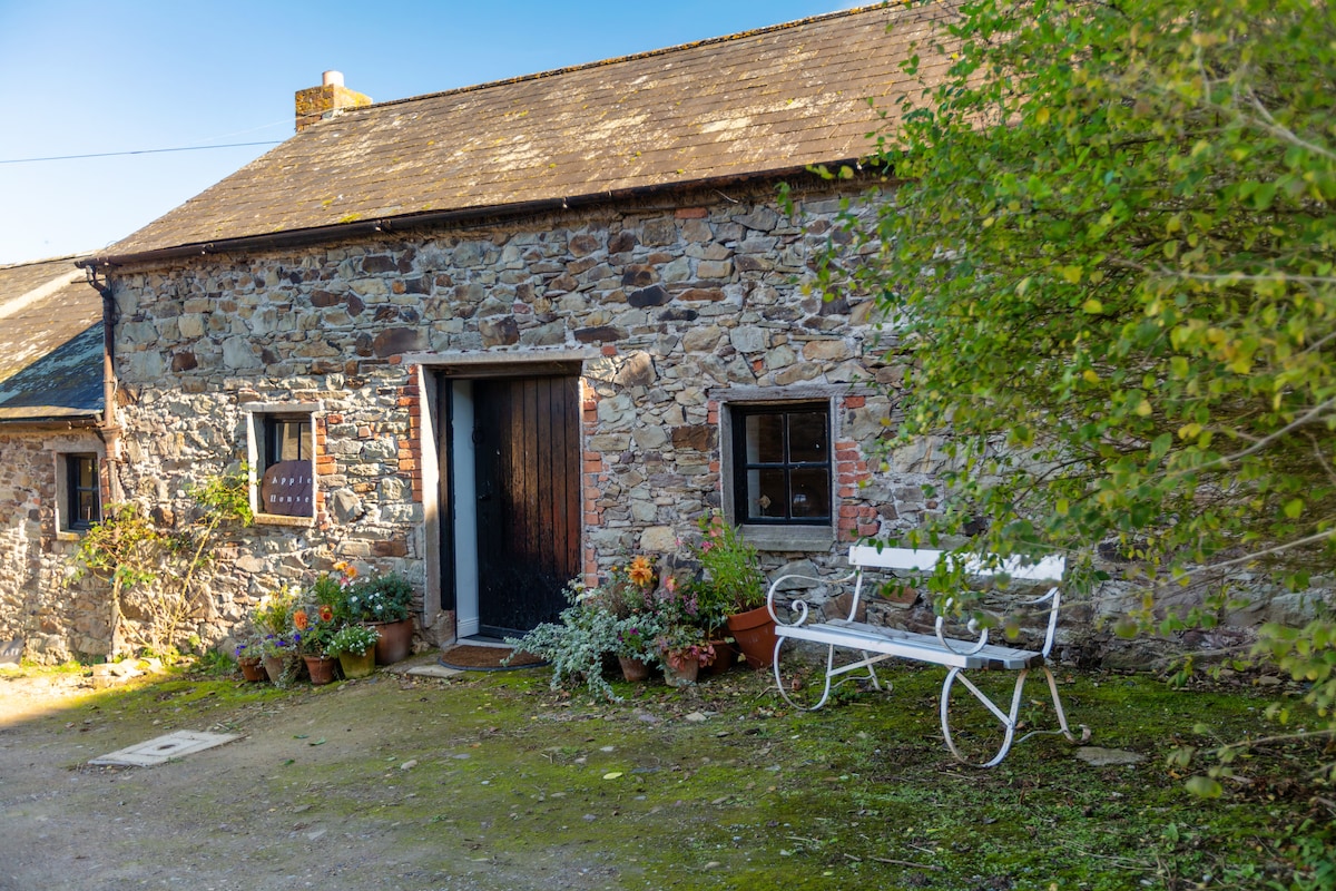 Enclosure in Acres (carbery East (w.d.) By.)Enclosure · 1677 yd
 Clubhouse Bridgebridge · 1689 yd
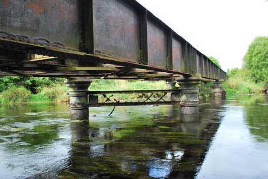 Milleenanannig Bridgeviaduct · 1.1 mi
 Ballynacarriga CastleCastle, tower house · 1.5 mi
 Graveyard in Dunmanway NorthGraveyard · 2.0 mi
 Dunmanway Heritage CentreVisitor information · 2.2 mi
 Mohona WoodWood · 2.2 mi
 Castle (Site of)Castle, Anglo-Norman masonry castle · 2.4 mi
 Irish National Forestry FoundationNature reserve · 3.1 mi
 Mount GunneryMountain / peak · 3.1 mi
 Funmanway Adventure LandHeritage attraction · 3.3 mi