What is recorded here
Fairy fort in Moone, County Kildare: an earthen ringfort on a glacial hillock, mapped circular in 1835 and sub-rectangular in 1908, about 25m across at most. By 1955 it was a low bank, shallow fosse and slight berm within roughly 50m, but now leaves no visible surface trace. The ground has taken back what the survey marked, leaving only the name and the shape of a forgotten room.
Shown on the 1835 OS 6-inch map as a circular enclosure and on 1908 edition as a sub-rectangular enclosure (max diam. c. 25m). Situated on a natural oval glacial hillock. Described in 1955 as a platform defined by a low bank and shallow fosse, with a slight berm and external fosse (overall diam. c. 50m) (Danaher 1955, no. 338). No visible surface trace.
Date of upload: 15 September 2016
The monument record does not grant public access. Check the route and ask the landowner before entering private land.
- What survives
- Recorded monument
Places near here
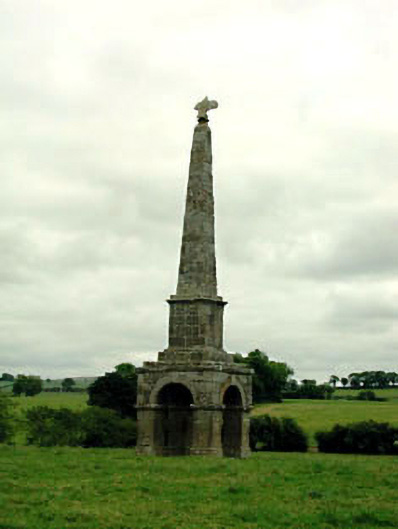 obeliskobelisk · 219 yd
 St Patricks WellHoly well · 759 yd
 Moone MoatArchaeological place · 1169 yd
 Moone Fox CovertForest · 1280 yd
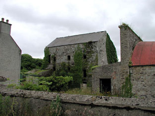 Belan Millmill (water) · 1289 yd
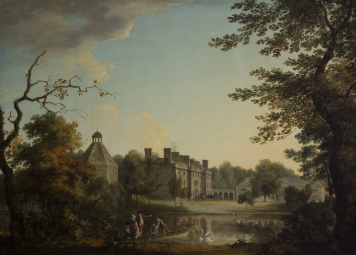 Belan HouseCastle, unclassified · 1419 yd
 Bolton CastleCastle, tower house · 1525 yd
 European LarchEuropean Larch · 1.3 mi
 Lorcán Ó TuathailMemorial · 2.9 mi
 Castledermot Round TowerHeritage attraction · 3.8 mi
 ProclamationMemorial · 3.9 mi
 Franciscan FriaryHeritage attraction · 4.0 mi