What is recorded here
Shown on the 1835 OS 6-inch map as a circular enclosure and on 1908 edition as a sub-rectangular enclosure (max diam. c. 25m). Situated on a natural oval glacial hillock. Described in 1955 as a platform defined by a low bank and shallow fosse, with a slight berm and external fosse (overall diam. c. 50m) (Danaher 1955, no. 338). No visible surface trace.
Date of upload: 15 September 2016
The monument record does not grant public access. Check the route and ask the landowner before entering private land.
- What survives
- Recorded monument
Places near here
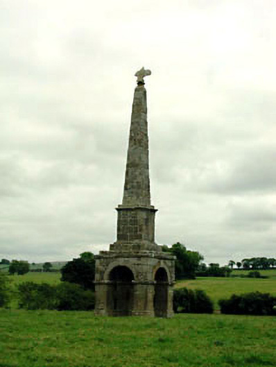 obeliskobelisk · 219 yd
 St Patricks WellHoly well · 759 yd
 Moone MoatArchaeological place · 1169 yd
 Moone Fox CovertForest · 1280 yd
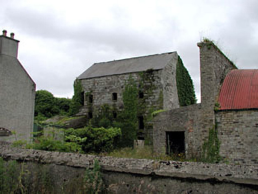 Belan Millmill (water) · 1289 yd
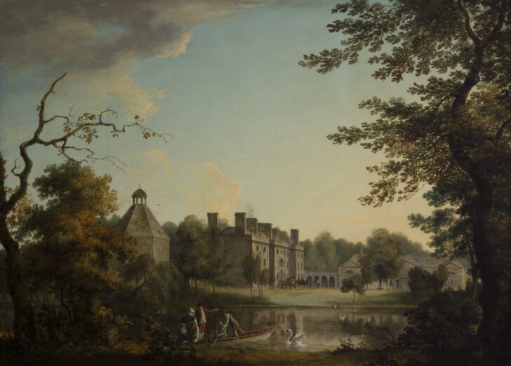 Belan HouseCastle, unclassified · 1419 yd
 Bolton CastleCastle, tower house · 1525 yd
 European LarchEuropean Larch · 1.3 mi
 Lorcán Ó TuathailMemorial · 2.9 mi
 Castledermot Round TowerHeritage attraction · 3.8 mi
 ProclamationMemorial · 3.9 mi
 Franciscan FriaryHeritage attraction · 4.0 mi