What is recorded here
No visible surface trace survives, yet a circular bank and external fosse once cut through low-lying swampy ground in Monksfield. That wet setting defies the usual dry ridge choice for a rath, suggesting the fort may have used water as much as stone to keep intruders out. It is easy to imagine people reading the swamp as a moat and building around its refusal to be crossed.
In an area of low-lying swampy ground. Classified by McCaffrey (1952, 242-3, no. 146c) as a
circular ‘Earthen fort’ (diam. c. 30.5m) defined by a bank of earth and stone and an external fosse. No visible surface trace survives. The low-lying swampy location of the monument is not the most likely siting for a rath.
Compiled by: Galway Archaeological Survey, UCG
Date of upload: 27 February 2018
The monument record does not grant public access. Check the route and ask the landowner before entering private land.
- What survives
- Recorded monument
Places near here
 MonksfieldCountry house · 621 yd
 CaveMan-made underground passage · 1371 yd
 IndicatedFairy fort / earthen ringfort · 1431 yd
 Cloghroak Castle (in ruins)Castle, tower house · 1.1 mi
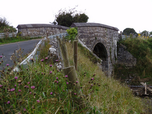 bridgebridge · 1.3 mi
 Cregg Castle (in ruins)Castle, tower house · 1.3 mi
 Drumharsna CastleHeritage attraction · 5.2 mi
 HawthornHawthorn · 5.4 mi
 European ashEuropean ash · 5.4 mi
 Scalpeen RockNamed rock · 6.2 mi
 MweenisharanIslet · 8.7 mi
 Mulroney's IslandIslet · 9.0 mi