What is recorded here
In Moneen, a hidden ringfort sleeps beneath rolling pasture on a gentle SE-facing slope. A 1775 map marked it as a circular Danes Fort, but ground level shows no trace. The land may still hold the shape of hands that built it, waiting for rain or memory to reveal the circle again.
In rolling pasture, on a gentle SE-facing slope with good views in all directions. Indicated as a circular 'Danes Fort' on a 1775 map (no. 30) by B. Scalé (private collection). It is not visible at ground level.
The above description is derived from 'The Archaeological Inventory of County Cork. Volume 5' (Dublin: Stationery Office, 2009).
Date of upload: 22 December 2009
A fairy fort or earthen ringfort in Moneen, likely dating to the early medieval period, is indicated on a 1775 map as a "Danes Fort," though its exact age and function remain unclear. Local tradition associates such sites with fairy lore, and the fort's inaccessibility and elevated position may have contributed to its mystical reputation.
The monument record does not grant public access. Check the route and ask the landowner before entering private land.
- What survives
- Recorded monument
Places near here
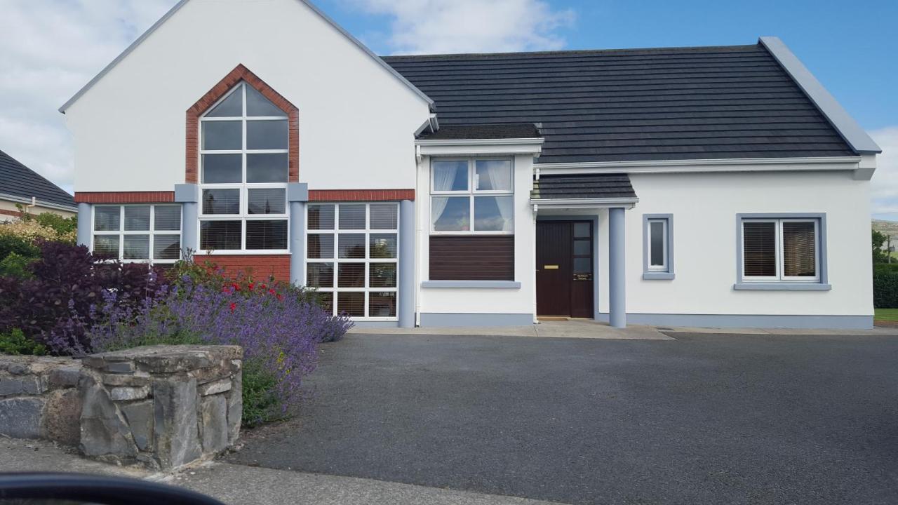 Moneen HouseArchaeological place · 474 yd
 Fulacht FianFulacht fia · 694 yd
 Woodvillehouse · 1745 yd
 Garranes Housecountry house · 1.3 mi
 Graveyard in KilnagnadyGraveyard · 1.3 mi
 Castle Nalacht, site ofCastle, unclassified · 1.4 mi
 Mount Pleasant WoodWood · 2.9 mi
 Pedunculate OakPedunculate Oak · 3.7 mi
 Castlemore CastleCastle · 3.9 mi
 Bandon War MemorialMemorial · 4.9 mi
 Sunday's WellSpring · 5.5 mi
 Tobar MacloonaboySpring · 8.7 mi