What is recorded here
Danish fort on a 1775 map, lost to drainage and pasture. The wet ground erased the ring, but the name remained, a ghost line in the soil. What was built there is gone, yet the fort still marks the place, remembered more often than seen.
In pasture, on a break of a very gentle SE-facing slope. Indicated as a circular 'Danes Fort' on a 1775 map (no. 30) by B. Scalé (private collection). It is not visible at ground level. According to the landowner, the area is very wet and has been extensively drained.
The above description is derived from 'The Archaeological Inventory of County Cork. Volume 5' (Dublin: Stationery Office, 2009).
Date of upload: 22 December 2009
A fairy fort or earthen ringfort in Moneen, likely dating to the early medieval period, is indicated as a "Danes Fort" on a 1775 map and is associated with local folklore referring to it as a site of supernatural significance. It is now largely invisible at ground level.
The monument record does not grant public access. Check the route and ask the landowner before entering private land.
- What survives
- Recorded monument
Places near here
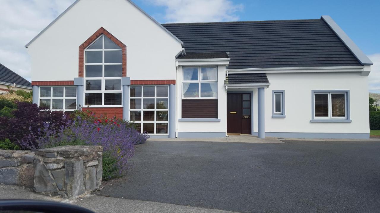 Moneen HouseArchaeological place · 225 yd
 Fulacht FianFulacht fia · 857 yd
 Woodvillehouse · 1579 yd
 Garranes Housecountry house · 1.1 mi
 Castle Nalacht, site ofCastle, unclassified · 1.5 mi
 Graveyard in KilnagnadyGraveyard · 1.5 mi
 Mount Pleasant WoodWood · 2.9 mi
 Sunday WellSpring · 3.2 mi
 Kilcrea Castle (in Ruins)Castle, tower house · 3.3 mi
 Kilcrea CastleWood · 3.3 mi
 Innishannon WoodsPicnic place · 4.9 mi
 Bandon War MemorialMemorial · 5.0 mi