What is recorded here
Moneen holds a thirty-two metre ring of two earthen banks and a hidden ditch, waiting behind overgrown grass. Its eastern causeway still points toward the land, inviting people into a space small enough to know by heart but old enough to resist explanation. Perhaps it was a farmhouse, a refuge, or a boundary marker for neighbours who no longer leave names behind. The earth remembers the shape even when the story has faded.
Circular area (diam. 32m) enclosed by two substantial earthen banks with intervening fosse. Both banks (H 1m) heavily overgrown. Entrance to E, with causeway.
The above description is derived from the published 'Archaeological Inventory of County Cork. Volume 1: West Cork' (Dublin: Stationery Office, 1992). In certain instances the entries have been revised and updated in the light of recent research.
Date of upload/revision: 14 January 2009
The monument record does not grant public access. Check the route and ask the landowner before entering private land.
- What survives
- Recorded monument
Places near here
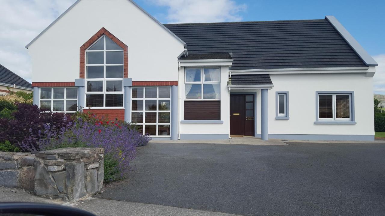 Moneen HouseArchaeological place · 376 yd
 Fulacht FianFulacht fia · 586 yd
 Woodvillehouse · 1108 yd
 Garranes Housecountry house · 1438 yd
 Castle Nalacht, site ofCastle, unclassified · 1.6 mi
 Graveyard in KilnagnadyGraveyard · 1.8 mi
 Mount Pleasant WoodWood · 2.9 mi
 Pedunculate OakPedunculate Oak · 3.2 mi
 Kilcrea Castle (in Ruins)Castle, tower house · 3.2 mi
 Sunday WellSpring · 3.5 mi
 Charlie Hurley MemorialMemorial · 4.2 mi
 Sunday's WellSpring · 5.1 mi