What is recorded here
Mondaniel holds a faded ringfort where a stiff boundary fence still marks an ancient outer bank. Power witnessed two large polygonal lioses before modern farming erased one and softened the other into a low pasture ridge. The surviving circle measures twenty-six metres across, small enough to walk quickly but large enough to exclude ordinary doubt.
In pasture, on E-facing slope. Levelled; circular raised area (26m N-S; 26m E-W) defined by low rise (int H. 0.4m; ext. H 0.7m). Slight rise outside platform to N may indicate presence of outer bank; portion of this may beretained in curving section of earthen field fence NE->SW, higher and more substantial than adjacent stretches. According to Power (1923, 191) 'there were two large lioses, both polygonal in plan'. Possible ringfort(CO044-007---) c. 240m to E.
The above description is derived from the published 'Archaeological Inventory of County Cork. Volume 2: East and South Cork' (Dublin: Stationery Office, 1994). In certain instances the entries have been revised and updated in the light of recent research.
Date of upload/revision: 14 January 2009
The monument record does not grant public access. Check the route and ask the landowner before entering private land.
- What survives
- Recorded monument
Places near here
 IndicatedHouse, vernacular house · 546 yd
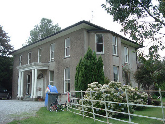 Terramount Housecountry house · 949 yd
 Burial ground in Kill Saint Anne NorthBurial ground · 1.1 mi
 Hearth in CorrinHearth · 1.1 mi
 Pope's WellSpring · 1.6 mi
 Barrymore Castle or Castle LyonsHouse, fortified house · 1.6 mi
 Tower (in Ruins)Bawn · 1.8 mi
 Corrin WoodsWood · 1.8 mi
 Ballybrack WoodForest · 2.1 mi
 Graveyard in FermoyGraveyard · 3.2 mi
 Kent BridgeMemorial · 3.2 mi
 Tourist InformationVisitor information · 3.2 mi