What is recorded here
Monascreebe holds a sub-circular earth and stone ring, forty-nine metres across, where a modern field wall now cuts the ancient interior in two. The bank still rises two metres high beside a deep external fosse, though the southwest quadrant has collapsed into a shallow scarp. People may have lived inside this sturdy circle before human arrogance forgot the boundaries of the earth.
The following description is derived from both the published 'Archaeological Inventory of County Louth' (Dublin: Stationery Office, 1986) and the 'Archaeological Survey of County Louth' (Dublin: Stationery Office, 1991). In certain instances the entries have been revised and updated in the light of recent research.
Date of upload/revision: 17 July 2007
Sub-circular area (int. dims. 49m NNW-SSE, 44.5m E-W) enclosed by earth and stone bank (Wth 6.3m, H 2m internally, 2.5m externally), now largely reduced to a scarp in the SW quadrant. Externally fosse (Wth 5.5m, D 1.6m) survives from NNW-N-E-SE, with remains of a modern stone wall around the outer edge of the fosse from NE-E-SE. The interior of the site is divided in two by a modern field wall, running NNW-SSE.
The monument record does not grant public access. Check the route and ask the landowner before entering private land.
- What survives
- Recorded monument
Places near here
 MonascreebeMountain / peak · 535 yd
 St. Brigids StationPenitential station · 584 yd
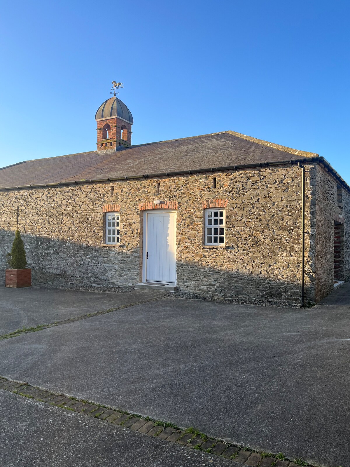 Enclosure in MonascreebeEnclosure · 781 yd
 Raskeagh FortCastle, motte and bailey · 960 yd
 Enclosure in RaskeaghEnclosure · 1150 yd
 Faughart MoundCastle, motte · 1352 yd
 SlievenaboleaMountain / peak · 1476 yd
 Church (in ruins)Church · 1523 yd
 Moyry CastleCastle · 1.2 mi
 Battle of FaughartMajor battlefield · 1.2 mi
 KILNASAGGART INSCRIBED PILLAR STONE & CEMETERY with 6 CROSS-CARVED STONES: CELL NA SACART in EdenappaKILNASAGGART INSCRIBED PILLAR STONE & CEMETERY with 6 CROSS-CARVED STONES: CELL NA SACART · 1.5 mi
 Ring of Gullion Way - Section 3Walking route · 1.6 mi