What is recorded here
Monascreebe held a rare double-ringed fort, visible on the 1835 ordnance survey but levelled before modern cameras arrived. It may have been a boundary marker, a seasonal home or a small defensive camp, yet its disappearance removes one of County Louth's clearest examples of layered earthworks. The loss is not merely academic; it deprives us of a place where human ingenuity and local identity could still be touched.
The following description is derived from both the published 'Archaeological Inventory of County Louth' (Dublin: Stationery Office, 1986) and the 'Archaeological Survey of County Louth' (Dublin: Stationery Office, 1991). In certain instances the entries have been revised and updated in the light of recent research.
Date of upload/revision: 17 July 2007
Bivallate ringfort shown on 1835 ed. of OS 6-inch map. Now levelled.
The monument record does not grant public access. Check the route and ask the landowner before entering private land.
- What survives
- Recorded monument
Places near here
 MonascreebeMountain / peak · 560 yd
 St. Brigids StationPenitential station · 618 yd
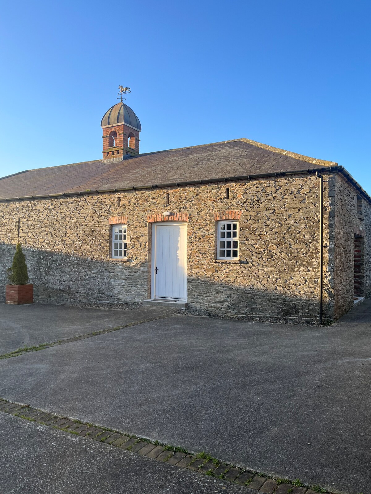 Enclosure in MonascreebeEnclosure · 753 yd
 Raskeagh FortCastle, motte and bailey · 827 yd
 Enclosure in RaskeaghEnclosure · 1025 yd
 Faughart MoundCastle, motte · 1441 yd
 SlievenaboleaMountain / peak · 1587 yd
 Church (in ruins)Church · 1611 yd
 Battle of FaughartMajor battlefield · 1.2 mi
 Moyry CastleCastle · 1.3 mi
 KILNASAGGART INSCRIBED PILLAR STONE & CEMETERY with 6 CROSS-CARVED STONES: CELL NA SACART in EdenappaKILNASAGGART INSCRIBED PILLAR STONE & CEMETERY with 6 CROSS-CARVED STONES: CELL NA SACART · 1.5 mi
 Ring of Gullion Way - Section 3Walking route · 1.6 mi