What is recorded here
Monaghan’s fairy fort is a forty-metre grass ring on a slight rise, marked only as a fort in gothic lettering on the 1834 map and still showing an earthen bank in aerial photographs. A field bank cuts through the middle, dividing the old enclosure like a later hand across a forgotten chamber. People may have lived there, fled there or stopped believing it was theirs; the earth keeps the shape while memory thins.
Situated on a slight rise in a low-lying landscape. It is depicted as an embanked enclosure described as a ‘fort’ in gothic lettering only on the 1834 edition of the OS 6-inch map. This is a circular grass-covered area (diam. c. 40m) defined by a slight scarp. It is bisected by a N-S field bank. It is visible as a cropmark defined by an earthen bank with internal fosse or drain features on the OSI series of aerial photographs (1995).
The above description is derived from the published 'Archaeological Inventory of County Monaghan' (Dublin: Stationery Office, 1986). In certain instances the entries have been revised and updated in the light of recent research.
Date of revision: 28 July 2017
The monument record does not grant public access. Check the route and ask the landowner before entering private land.
- What survives
- Recorded monument
Places near here
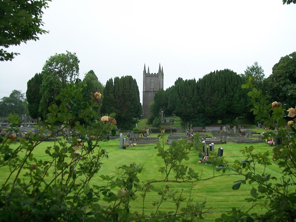 Burial ground in Cloghvally LowerBurial ground · 687 yd
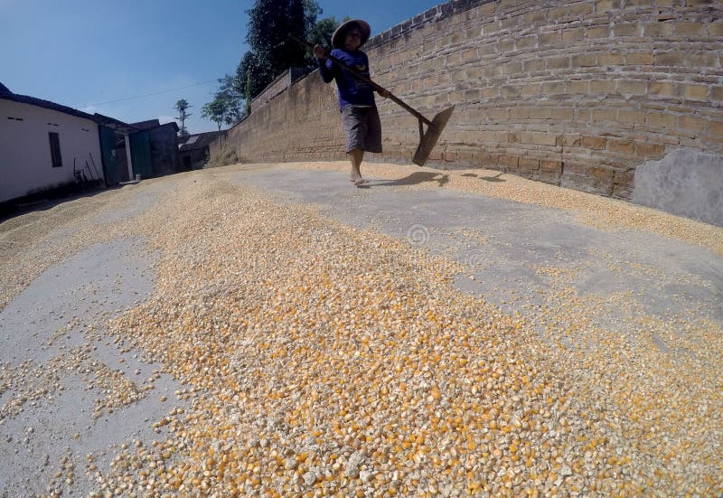 KilnKiln, corn-drying · 818 yd
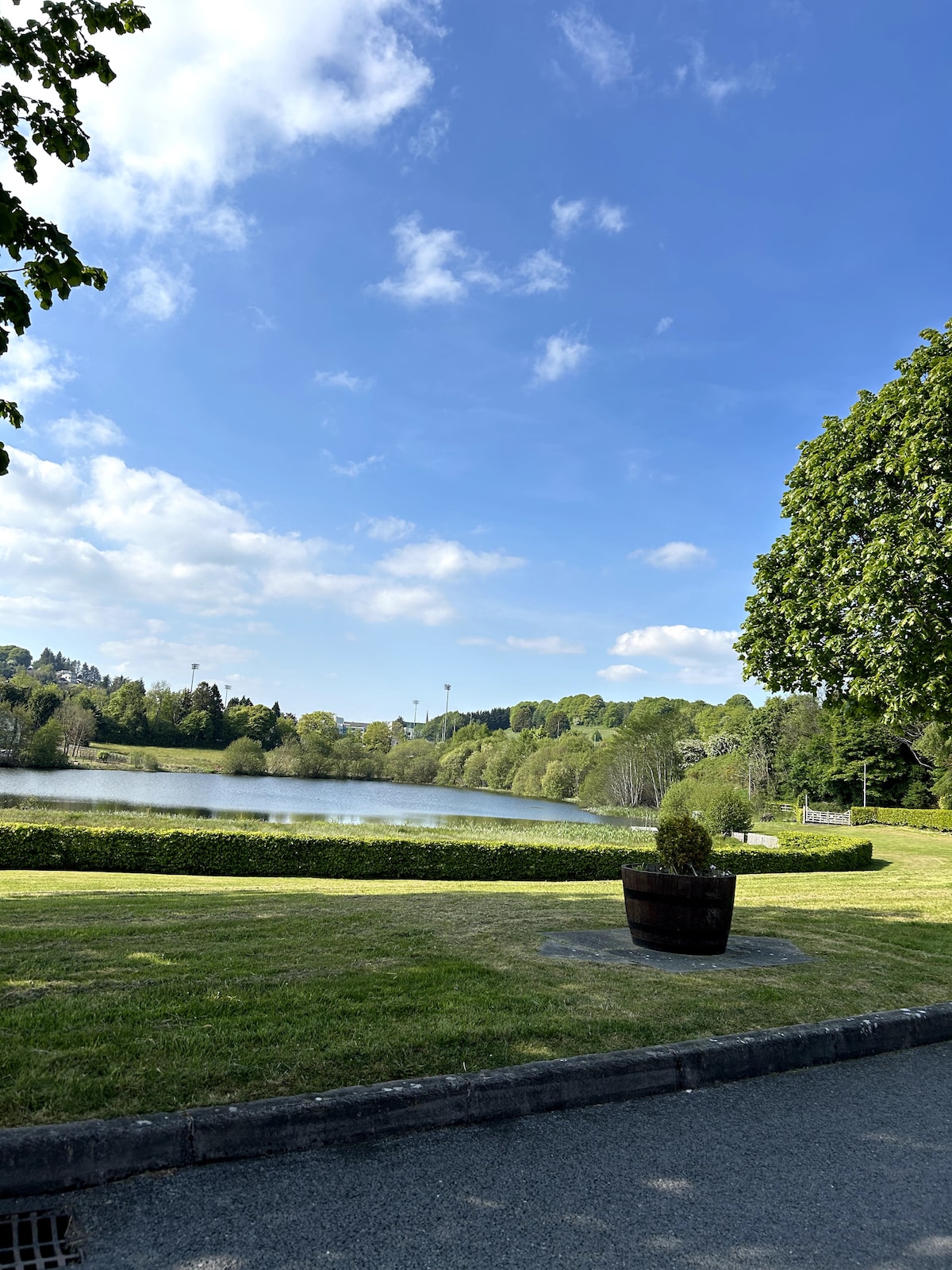 Embanked enclosureFairy fort / earthen ringfort · 1231 yd
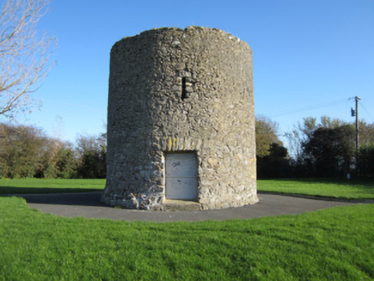 Gallows Hill Windmillmill (wind) · 1241 yd
 Horse-chestnutHorse-chestnut · 1.2 mi
 Mannan Castle (in ruins)Castle, Anglo-Norman masonry castle · 1.6 mi
 European BeechEuropean Beech · 1.8 mi
 TobernagalliaghSpring · 2.6 mi
 Flat cemetery in AnnaheanFlat cemetery · 4.9 mi
 Drumerlough MoreMountain / peak · 5.0 mi
 Natural Play AreaMemorial · 5.8 mi
 Castle ruinsCastle, unclassified · 5.9 mi