What is recorded here
No visible entrance, no obvious boundary, no human claim at all. The land itself may have drawn the circle before people gave it a name. What looks like a fort could be a threshold, a place where the boundary between worlds grew thin enough to touch.
Situated on a shelf of rock outcrop in a level, low-lying landscape. This is an oval or D-shaped grass-covered area ( dims 39m NNW-SSE; 24m ENE-WSW) defined by an earthen bank (at WSW: Wth of base 6m; Wth of top 2.4m; int. H 0.7m; ext. H 1.8m) and outer flat-bottomed fosse (at WSW: Wth of top 7.6m Wth of base 3m; ext. D 0.3m) S-NNW reduced to a scarp (at N: Wth 2.2m; H 1.2m) elsewhere but backing onto a cliff of rock outcrop (H 4m) at E. There is an entrance gap (Wth of base 2.9m) at NW that is probably modern as it leads to farm buildings, and the perimeter supports some mature deciduous trees.
The above description is derived from the published 'Archaeological Inventory of County Monaghan' (Dublin: Stationery Office, 1986). In certain instances the entries have been revised and updated in the light of recent research.
Date of revision: 8 December 2017
The monument record does not grant public access. Check the route and ask the landowner before entering private land.
- What survives
- Recorded monument
Places near here
 Fairy fort / earthen ringfort in AghateskinFairy fort / earthen ringfort · 758 yd
 Enclosure in Lisnamoyle EtraEnclosure · 1391 yd
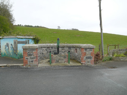 water pumpwater pump · 1.0 mi
 Donaghmoyne Post Officehouse · 1.0 mi
 Mannan Castle (in ruins)Castle, Anglo-Norman masonry castle · 1.4 mi
 TobernagalliaghSpring · 1.6 mi
 KnockreaghMountain / peak · 2.4 mi
 Fincarn HillMountain / peak · 3.7 mi
 Horse-chestnutHorse-chestnut · 3.8 mi
 Gully IslandIslet · 4.5 mi
 European BeechEuropean Beech · 4.6 mi
 Rock IslandIslet · 4.8 mi