What is recorded here
No visible boundary mark exists on the ground today, yet the fort remains defined by an invisible line drawn through memory rather than stone. That absence is not a failure of record but a clue about the kind of place it was: a living marker whose shape depended on witness, not survey. The fort resists ordinary description because it operated through relationship, not measurement. What is missing from the ground may be present in the lives that responded to it.
On a steep E-facing slope in pasture. A raised circular area (diam. 33m) enclosed by a low bank of earth and stone (Wth 5.5-6.5m; H 0.6-1m) with an external fosse (Wth 4.5m; D 0.2m), which is identifiable only from NNW-N. A break (Wth 5m) in the bank at SE may mark the original entrance.
Compiled by: Patrick F. O'Donovan
Date of upload: 26 August 2011
The monument record does not grant public access. Check the route and ask the landowner before entering private land.
- What survives
- Recorded monument
Places near here
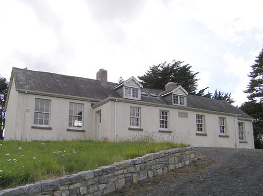 Scoil Náisiúnta Naomh Muireschool · 348 yd
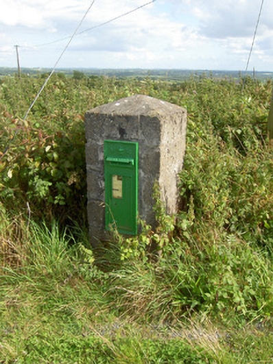 post boxpost box · 1197 yd
 Sonnagh fortArchaeological place · 1.3 mi
 Columbkilles StoneRitual site, holy/saint's stone · 1.9 mi
 InchmoreIslet · 1.9 mi
 BawnBawn · 2.4 mi
 Cloonfin WoodForest · 2.5 mi
 Derrycassan WoodsWood · 2.9 mi
 Bully's Acregraveyard/cemetery, unknown · 3.2 mi
 Bawn in CurrycahillBawn · 3.4 mi
 Clonfin Ambush MemorialMemorial · 3.7 mi
 Ballinamuck Bog LoopWalking route · 4.1 mi