What is recorded here
Mortons and Kettle’s men once circled the fort, not to break it but to measure how much of the old world still stood. They came from different counties and different centuries of curiosity, yet they did the same thing: walked the bank, marked the damage, and left it alone. The fort does not need a hero or a warning label. It needs witnesses who understand that seeing it clearly is the first act of protection.
In pasture, on NNW-facing slope into river valley. Circular area (21.7m N-S; 21.95m E-W), enclosed by earth-and-stone bank (int. H 0.2m; ext. H 0.85m), best preserved N->E; bank overgrown by mature thorn trees and brambles. Bank, which is heavily eroded, is reduced to scarped edge (H 0.2m; Wth 4m) SSE->N. Dip in bank at SE is due to cattle erosion. Interior, under pasture but overgrown with brambles along fringes, slopes down to NNW.
Compiled by: Denis Power
Date of upload: 26 August 2011
The monument record does not grant public access. Check the route and ask the landowner before entering private land.
- What survives
- Recorded monument
Places near here
 Ballynash CastleCastle, unclassified · 732 yd
 Court BrownArchaeological place · 1413 yd
 Megalithic structure in Tomdeely NorthMegalithic structure · 1638 yd
 Tomdeely CastleCastle · 1.0 mi
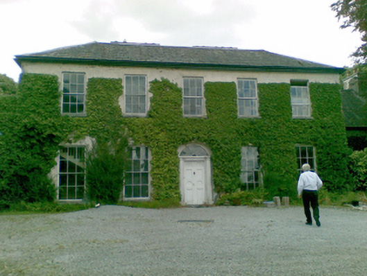 Ballysteen Housecountry house · 1.1 mi
 Greenish IslandIslet · 1.2 mi
 Holly IslandIslet · 1.3 mi
 Courtbrown PointHeadland · 1.3 mi
 Abbey (in ruinsReligious house, Franciscan friars · 1.4 mi
 Askeaton CastleHeritage attraction · 1.6 mi
 Herring RockNamed rock · 2.6 mi
 European YewEuropean Yew · 4.7 mi