What is recorded here
Fairy fort / earthen ringfort in Mohober is a fairy fort or earthen ringfort in Mohober, County Tipperary, Ireland. It occupies a raised circular area measuring 30 metres north-south and 31 metres east-west, enclosed by a bank that has been mainly reduced to a scarp rising one to two metres. The outer ditch is best preserved on the downslope from southwest through south to southeast, while a possible entrance gap three metres wide opens at the northeast. The platform style ringfort was built into the sloping wet terrain to provide a level surface, reaching its highest point on the downslope at the south end.
In wet unreclaimed grassland on a S-facing slope of rising ground in upland area with good extensive views from E through S to W, higher ground to N. Nearby possible enclosure (TS055-057----) 100m to NE and ringfort (TS055-055----) 200m to NW. Raised circular area (int. diam. 30m N-S; 31m E-W) enclosed by a bank (top Wth 2.2m; base Wth 5m; int. H 0.3m; ext. H 0.3-1.5m) which has been mainly reduced to a scarp (H 1-2m) and outer fosse (base Wth 2m; top Wth 4m; ext. D 0.3m) best preserved on the downslope from SW through S to SE. Possible entrance gap (Wth 3m) at NE. Bank only visible at N elsewhere it is covered in bushes and nettles. Platform style ringfort which has been built into sloping terrain where it is nearly level with external ground surface on the uslope at N and is at its highest on the downslope at S, constructed in such a way as to provide a level platform on sloping wet terrain. Small shallow quarry (dims. 4m N-S x 8m E-W x 0.6m D) located in NE quadrant of ringfort, perimeter of ringfort covered in thorn and furze bushes at time of inspection.
Compiled by: Jean Farrelly
Date of upload: 26 August 2011
The monument record does not grant public access. Check the route and ask the landowner before entering private land.
- What survives
- Recorded monument
Places near here
 Enclosure in MohoberEnclosure · 955 yd
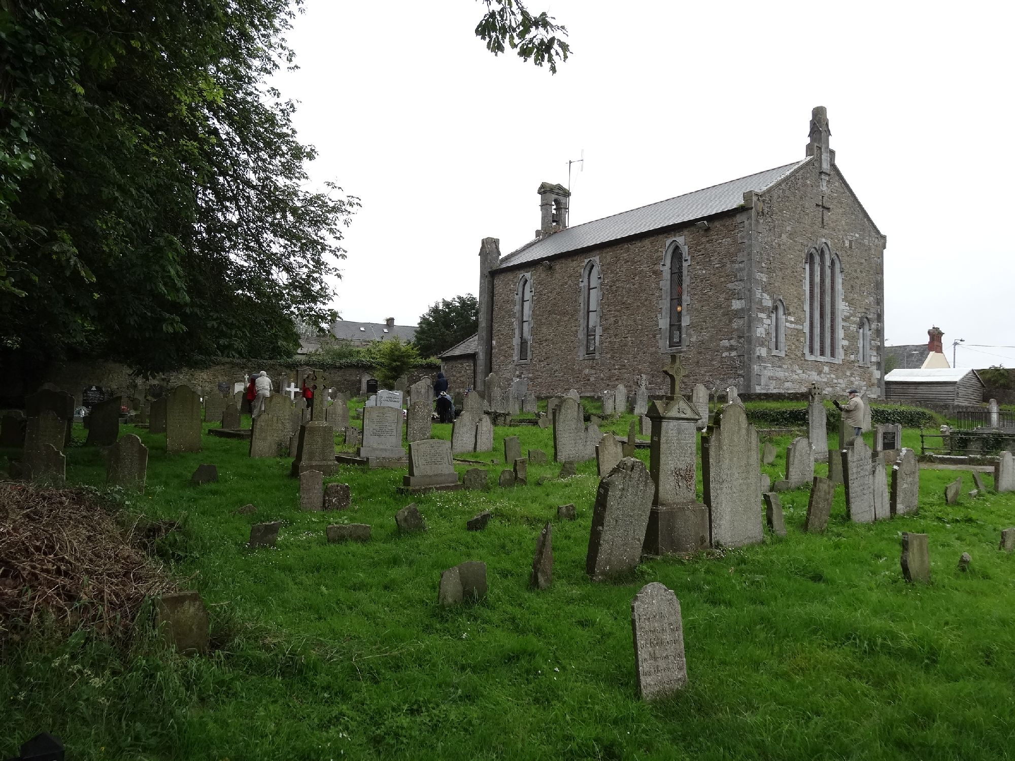 Church in GragaughChurch · 1154 yd
 RoadRoad, road/trackway · 1180 yd
 Bawn in LismalinBawn · 1.6 mi
 Pedunculate OakPedunculate Oak · 1.7 mi
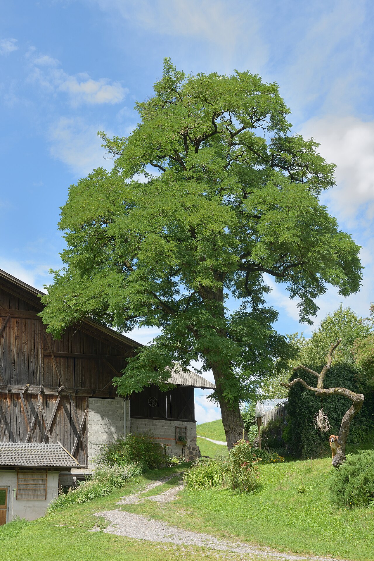 Black LocustBlack Locust · 1.8 mi
 Site of ChurchChurch · 1.9 mi
 Modeshil Castle (in ruins)Castle · 1.9 mi
 Knockuragh HillMountain / peak · 3.8 mi
 Warhouse HillMountain / peak · 3.9 mi
 Edmund Rice Heritage CentreMuseum · 4.7 mi
 Local LifeVisitor information · 5.0 mi