What is recorded here
Magic and life are entangled there. You can touch the fort, measure its width, and taste the clarity it gives you.
On top of a flat-topped hill on the E side of the Dinin river valley, in rolling pasture. There are commanding views in all directions. Another ringfort (KK014-015003-) is located c. 20m to the N. When visited in 1972 it consisted of a circular, flat area (diam. c. 70m) enclosed by a wide, low earthen bank and broad shallow external fosse and is described in 1987 as being levelled, with a barely discernible bank (int. H 0.1-0.2m; ext. H c. 0.3m, increasing to c. 1m in the E sector). The interior slopes to the SE.
Compiled by: Jean Farrelly
Date of upload: 13 May 2020
The monument record does not grant public access. Check the route and ask the landowner before entering private land.
- What survives
- Recorded monument
Places near here
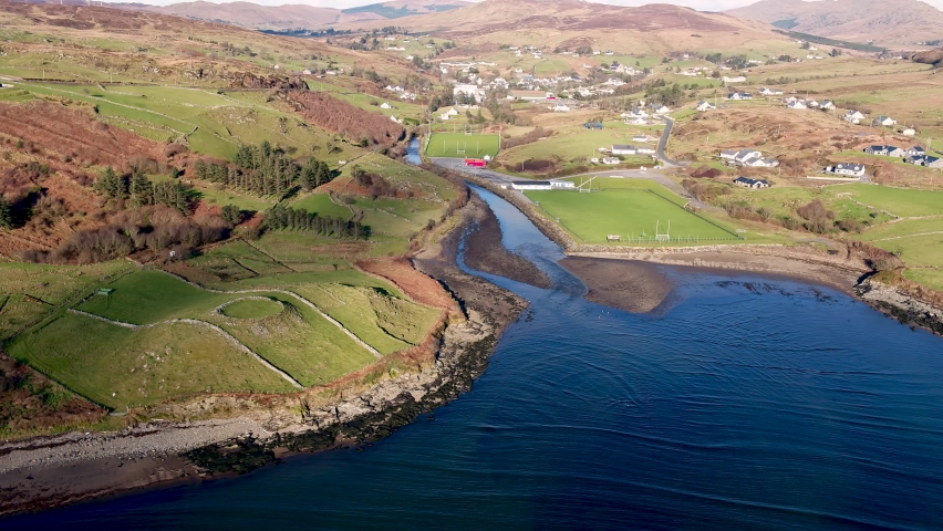 Mohil RingfortArchaeological place · 5 yd
 Mohil GraveyardArchaeological place · 112 yd
 Cave of DunmoreCave · 497 yd
 Dunmore CavesCave · 498 yd
 CastleCastle, tower house · 1078 yd
 New Dinin Bridgebridge · 1091 yd
 Trinity WellSpring · 1572 yd
 Galvin'sForest · 1651 yd
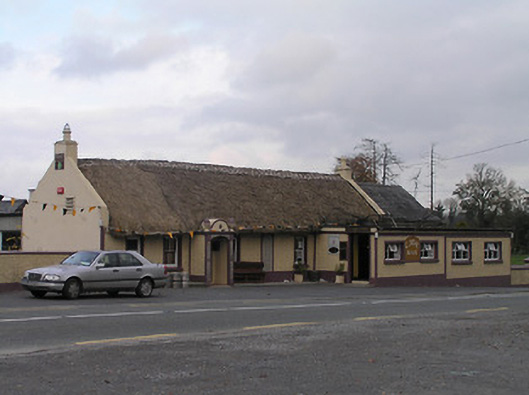 The Cavehouse · 1702 yd
 Site of Kilmadum ChurchChurch · 1.1 mi
 Jenkinstown ParkForest · 1.2 mi
 Saint Coleman's WellSpring · 1.4 mi