What is recorded here
Sixty-five metres of ancient earth rise above the Dinin valley, marking a place where humans and stories still tangle. The bank has lost height to time and pasture, yet the double ditch and outer ridge remain clear enough to walk. Local memory adds a church and graveyard inside the circle, giving the fort a sacred edge rather than a military one.
On top of a flat-topped hill on the E side of the Dinin river valley, in rolling pasture. There are commanding views in all directions. Another ringfort (KK014-016----) is located c. 20m to the S. There is a tradition of a church (KK014-015001-) and graveyard (KK014-015002-) within the interior (Carrigan 1905, vol. 3, 458-9; O'Kelly 1985, 44). A roughly circular area (diam. c. 65m) defined by a much denuded stoney bank (int. H 0.65m; ext H 1.4m; overall Wth 4m; Wth at crest 2m), flattened V-shaped fosse (Wth 1.75m; D 1.7m), substantial outer bank (ext. H 1.4m; overall Wth 6m) and an almost entirely infilled outer fosse (Wth 5m). There is an original entrance (Wth 4-5m) through both banks at the NE and a modern entrance (Wth 2m) at the SE. The interior, which slopes towards the NE, is overgrown with scrub and partially planted in conifers.
Compiled by: Jean Farrelly
Date of upload: 13 May 2020
The monument record does not grant public access. Check the route and ask the landowner before entering private land.
- What survives
- Recorded monument
Places near here
 Mohil GraveyardArchaeological place · 8 yd
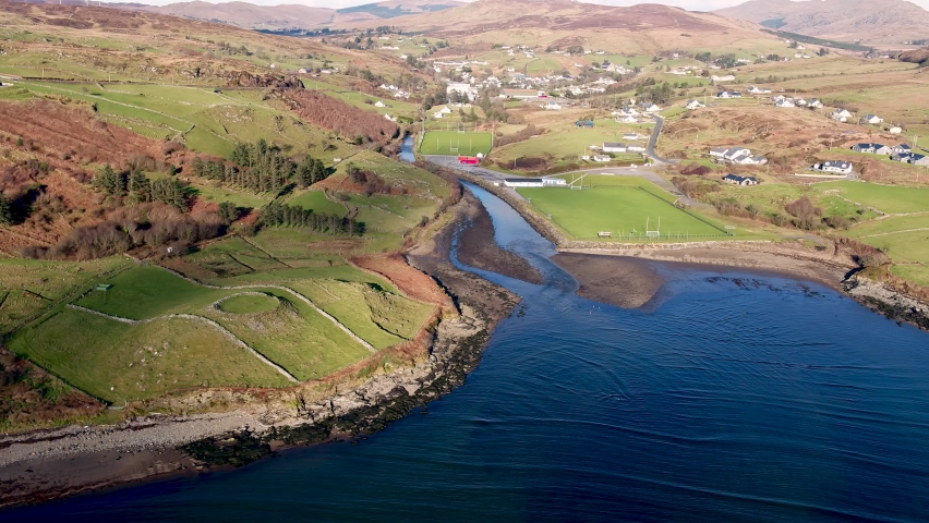 Mohil RingfortArchaeological place · 123 yd
 Cave of DunmoreCave · 492 yd
 Dunmore CavesCave · 495 yd
 CastleCastle, tower house · 1009 yd
 New Dinin Bridgebridge · 1137 yd
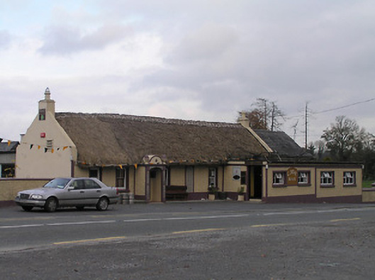 The Cavehouse · 1597 yd
 Galvin'sForest · 1620 yd
 Trinity WellSpring · 1644 yd
 Site of Kilmadum ChurchChurch · 1.1 mi
 Jenkinstown ParkForest · 1.3 mi
 Saint Coleman's WellSpring · 1.4 mi