What is recorded here
Mohereen held a thirty-yard earthen ringfort on P. Turner's land before leveling erased its exact shape. Bowman recorded the vanished rampart in 1934, preserving the fort's size even though the ground no longer marks its boundary. The fairies keep their own fort there, unchanged beneath the soil, waiting for someone reckless enough to dig where human tools have already failed.
Bowman (1934, 585) recorded levelled, single-ramparted fort (diam. c. 30yd) on P. Turner's land. Exact location not known.
The above description is derived from the published 'Archaeological Inventory of County Cork. Volume 4: North Cork' (Dublin: Stationery Office, 2000). In certain instances the entries have been revised and updated in the light of recent research.
Date of upload/revision: 14 January 2009
The monument record does not grant public access. Check the route and ask the landowner before entering private land.
- What survives
- Recorded monument
Places near here
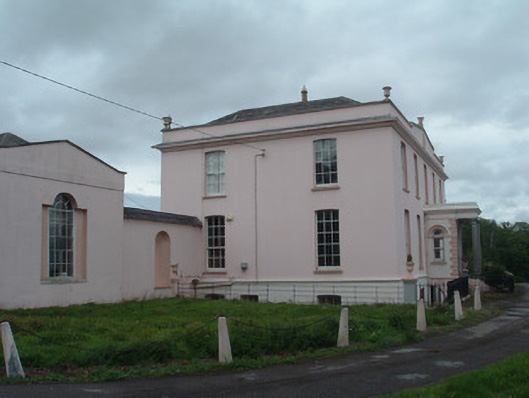 Waterloo Housecountry house · 1301 yd
 Enclosure in GlantaneEnclosure · 1472 yd
 Church in SmithfieldChurch · 1495 yd
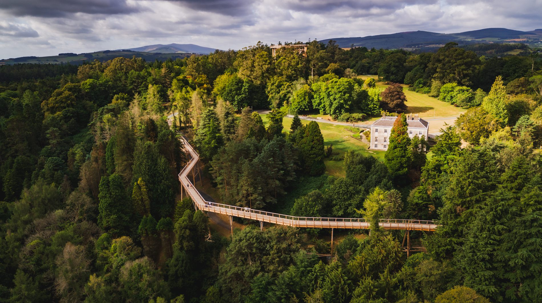 Fulacht fia in WoodparkFulacht fia · 1529 yd
 Dromaneen CastleHeritage attraction · 1584 yd
 Gurteenkreen Castle (Site of)Castle, unclassified · 2.9 mi
 Lohort CastleCastle, tower house · 3.2 mi
 In loving memory of Elvis O'DonoghueMemorial · 3.9 mi
 Mount HillaryMountain / peak · 4.0 mi
 Graveyard in Ballygiblin (duhallow By.)Graveyard · 4.3 mi
 Mount Hillary - Knightfield LoopWalking route · 4.4 mi
 Mount Hillary - Mount Hillary LoopWalking route · 4.6 mi