What is recorded here
Fourteen metres of packed earth and shadowed ditch circle Moanbaun, marking a boundary older than the trees now chopped to stubble. The fort stands beside a country road in County Galway, waiting for someone to remember why it was built.
In a tree copse in gently rolling pastureland and immediately to the W of a N-S running road. This well-preserved circular rath (diam. 41m) is defined by a bank and external fosse except from NE to ENE where no visible surface trace survives. The bank had been planted with trees but a number have been cut down and only the stumps are evident.
Compiled by: Galway Archaeological Survey, UCG
Date of upload: 20 February 2018
The monument record does not grant public access. Check the route and ask the landowner before entering private land.
- What survives
- Recorded monument
Places near here
 Castle (in Ruins)Castle, unclassified · 1261 yd
 Cross (present location) in Raheen (athenry By.)Cross (present location) · 1536 yd
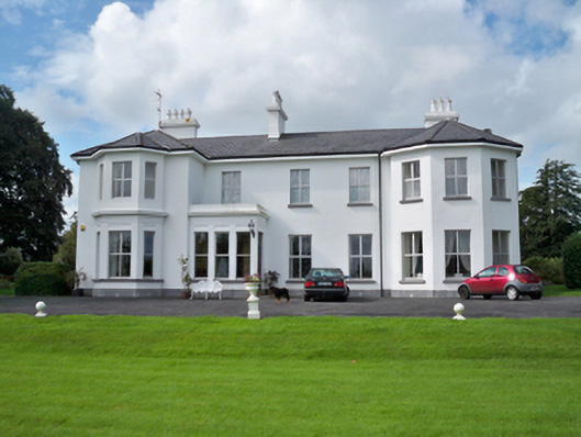 Raheen Househouse · 1607 yd
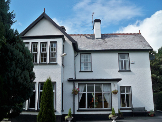 Cullairbaun Househouse · 1625 yd
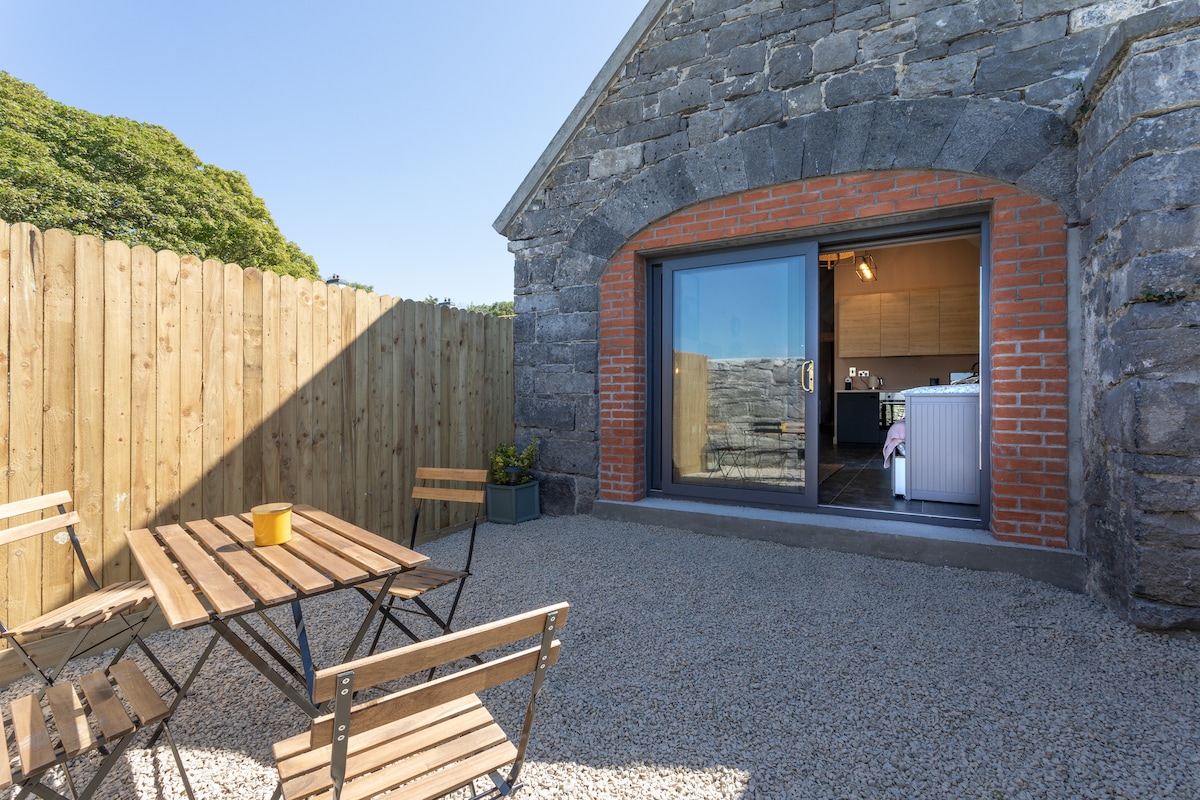 EnclosureEnclosure, large enclosure · 1639 yd
 First Battle of Athenrybattle · 1.1 mi
 Convent (in ruins)Castle, ringwork · 1.2 mi
 Horse-chestnutHorse-chestnut · 1.3 mi
 Athenry CastleHeritage attraction · 1.5 mi
 Athenry AbbeyHeritage attraction · 1.6 mi
 The HazelWood · 3.5 mi
 Leadmine HillMountain / peak · 9.6 mi