What is recorded here
Ballarthur Field in Mitchelstown held a forty-metre earthen ring beside the River Funchion before ploughing erased it. The 1842 survey still shows its circular line and interior trees, marking a boundary that human hands have since smoothed into ordinary pasture.
In pasture, on natural break in slope, to N of River Funchion and on demesne of Mitchelstown Castle. Depicted as hachured circular enclosure (diam. c 40m) on 1842 OS 6-inch map, with trees planted in interior and field named 'Ballarthur Field'. Levelled; no visible surface trace.
The above description is derived from the published 'Archaeological Inventory of County Cork. Volume 4: North Cork' (Dublin: Stationery Office, 2000). In certain instances the entries have been revised and updated in the light of recent research.
Date of upload/revision: 14 January 2009
The monument record does not grant public access. Check the route and ask the landowner before entering private land.
- What survives
- Recorded monument
Places near here
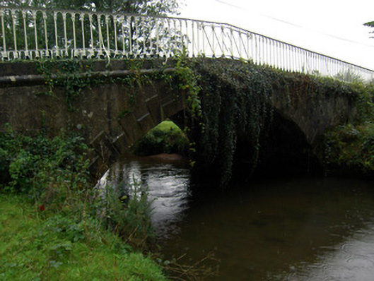 bridgebridge · 224 yd
 Sundays WellHoly well · 568 yd
 Ballaghaderg Bridgebridge · 753 yd
 Burnt mound in MitchelstownBurnt mound · 1139 yd
 White Knights Tower (Site of)Castle, unclassified · 1317 yd
 John MandevilleMemorial · 1.2 mi
 Mitchelstown Town MapVisitor information · 1.2 mi
 Statue of Saint FanahanMemorial · 1.4 mi
 Carriganoura Castle (in Ruins)Castle, tower house · 1.8 mi
 Ballyarthur HillMountain / peak · 2.3 mi
 Combaun WoodsViewpoint · 3.7 mi
 FlagCave · 4.1 mi