What is recorded here
Fairy fort / earthen ringfort in Ministown stands as a circular earthwork about twenty-five metres across, marked by twin ditches and a narrow northern gap on level Meath ground. Tom Condit first reported the site, preserving a shape that may have served as a small defensive hold or a boundary marker for an ordinary household. The name fairy fort suggests people once believed the building belonged elsewhere, yet the measured ditches and bank point to human hands shaping soil for shelter, status or survival.
Located on a fairly level landscape. The cropmark of a circular enclosure (diam. c. 25m) defined by a fosse feature S-W-NE is visible on Google Earth (06/06/2018). There is an entrance gap (Wth c. 3m) at N and the fosse extends NNE (visible L c. 20m) from the W side of this gap. An outer fosse, separated from the inner SW-N by the lighter colouring of the crop on the site of an earthen bank, is also present. It was first reported by Tom Condit.
Compiled by: Michael Moore
Date of upload: 10 October 2019
The monument record does not grant public access. Check the route and ask the landowner before entering private land.
- What survives
- Recorded monument
Places near here
 St. Columbkilles WellHoly well · 197 yd
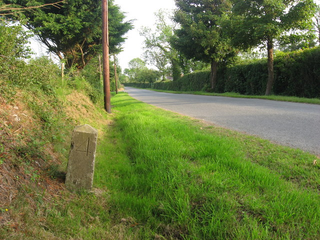 Enclosure in MinistownEnclosure · 615 yd
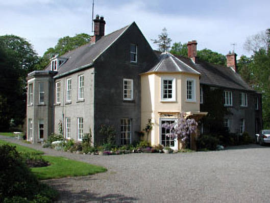 Bettystown Housecountry house · 719 yd
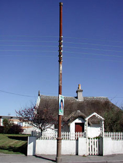 vent pipevent pipe · 781 yd
 RuinCastle, tower house · 1.4 mi
 Ballygarth CastleCastle · 1.6 mi
 Battle of Julianstownbattle · 2.0 mi
 Beaulieu House and GardensHeritage attraction · 2.7 mi
 Ben HeadCliff · 3.1 mi
 SycamoreSycamore · 4.1 mi
 European YewEuropean Yew · 4.3 mi
 Newgrange Business ParkMemorial · 5.0 mi