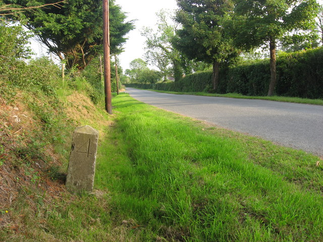
What is recorded here
Situated on a fairly level landscape. The faint cropmark of a subcircular enclosure (int. dims c. 40m E-W; c. 35m N-S) defined by a slight and uncertain fosse is visible only on Apple Maps, which utilises a survey conducted by Blue Sky International during June 2018. The fosse has many interruptions but a gap (Wth c. 8m) at E could be an original entrance. It was first reported by Anthony Murphy.
See the attached enhanced view from Apple Maps
Compiled by: Michael Moore
Date of upload: 31 January 2020
A local fairy fort (ringfort/rath); wider significance not recorded.
The monument record does not grant public access. Check the route and ask the landowner before entering private land.
- What survives
- Recorded monument
Places near here
 St. Columbkilles WellHoly well · 546 yd
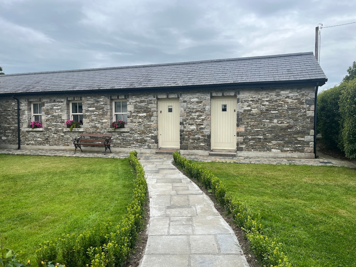 Enclosure in NinchEnclosure · 975 yd
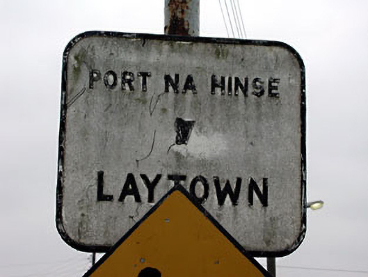 sign postsign post · 1118 yd
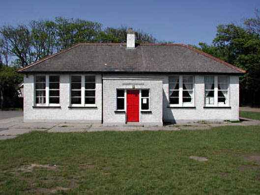 Laytown National Schoolschool · 1159 yd
 Ballygarth CastleCastle · 1.2 mi
 RuinCastle, tower house · 1.6 mi
 Battle of Julianstownbattle · 1.6 mi
 Ben HeadCliff · 2.9 mi
 Beaulieu House and GardensHeritage attraction · 3.0 mi
 SycamoreSycamore · 3.8 mi
 European YewEuropean Yew · 4.0 mi
 Newgrange Business ParkMemorial · 5.0 mi
Other information
Photo: Credit not shown in the picture search · Rights wording not checked; contact us if this picture should be removed