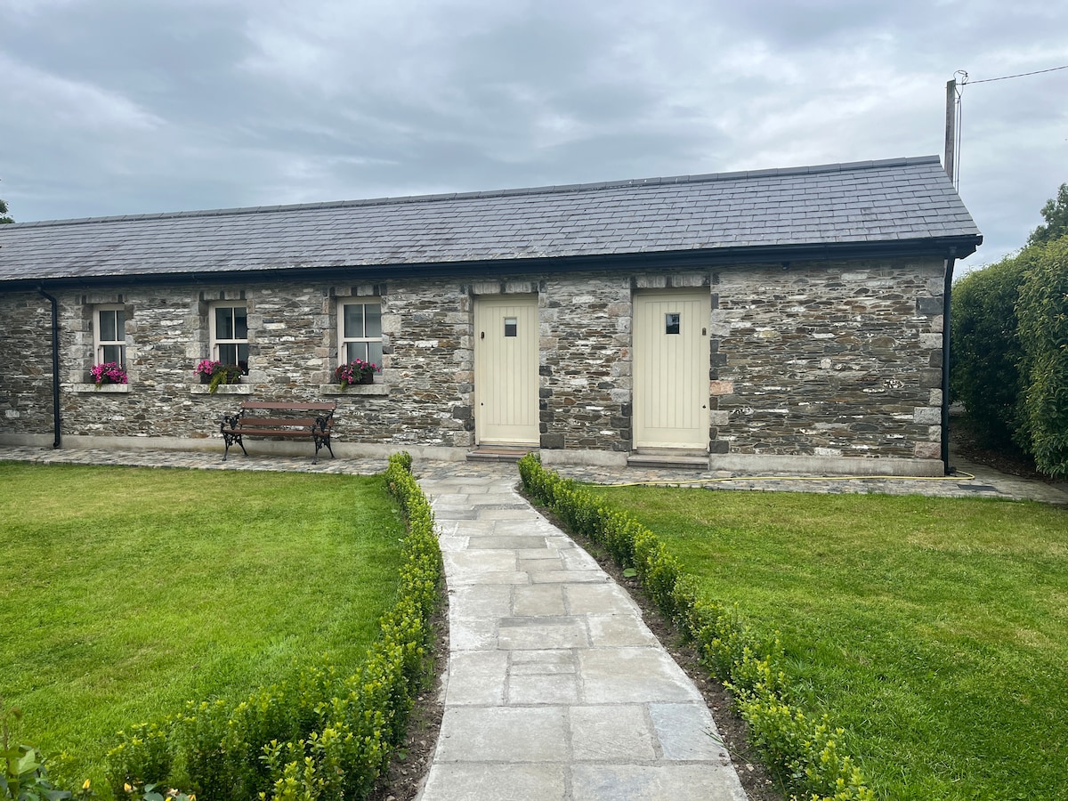
What is recorded here
Situated on a broad low rise in a low-lying landscape. The cropmark of a circular enclosure (int. diam. c. 33m E-W; c. 31m N-S) defined by a continuous fosse (Wth c. 2-3m) is visible only on Digital Globe (c. 2013). It was first reported by Joanne Hughes.
See the attached enhanced view from Digital Globe
Compiled by: Michael Moore
Date of upload: 9 September 2020
The monument record does not grant public access. Check the route and ask the landowner before entering private land.
- What survives
- Recorded monument
Places near here
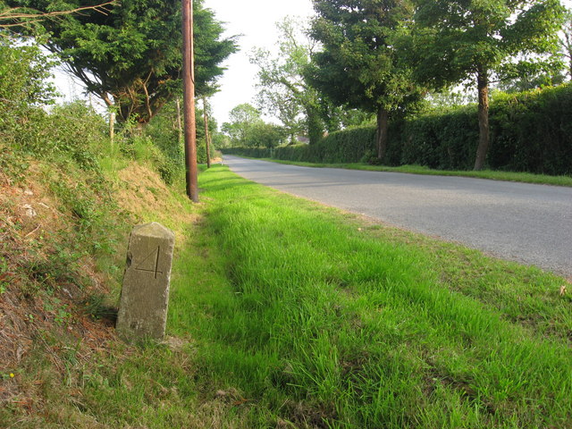 Enclosure in MinistownEnclosure · 975 yd
 Ballygarth CastleCastle · 1307 yd
 IndicatedChurch · 1377 yd
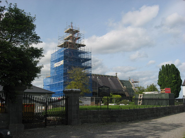 St. Marys ChurchChurch · 1435 yd
 CrossCross, High cross (present location) · 1448 yd
 Battle of Julianstownbattle · 1.1 mi
 RuinCastle, tower house · 1.9 mi
 Ben HeadCliff · 2.7 mi
 Beaulieu House and GardensHeritage attraction · 3.2 mi
 SycamoreSycamore · 3.5 mi
 European YewEuropean Yew · 3.7 mi
 Newgrange Business ParkMemorial · 4.7 mi
Other information
Photo: Credit not shown in the picture search · Rights wording not checked; contact us if this picture should be removed