What is recorded here
Fairy fort / earthen ringfort in Milltown St. John is a fairy fort or earthen ringfort in Milltown St. John, County Tipperary, Ireland. It occupies an oval area 36 metres north-south and 33 metres east-west on a southeast-facing slope in improved pasture. An earthen bank runs east-southeast through west to northeast, while an outer ditch runs southwest through east to east-northeast. A probable entrance gap 9.5 metres wide at south-southeast is blocked by fallen trees.
In improved pasture, on a SE-facing slope. A ringfort (TS062-020----) lies c. 260m to NW. An oval area (dims. 36m N-S; 33m E-W) defined by an earthen bank (overall Wth 6.3m; Wth at top 1m; int. H 0.2m; ext. H 0.1.35m) ESE-W-NE, which is lower from NE-E-ESE (overall Wth 6.7m; Wth at top 1m; int. H 0.75m; ext. H 0.9m), and an outer fosse (overall Wth 10.10m; basal Wth 2.65m; D 1.25m) SW-E-ENE, which is shallower in the SE quadrant (overall Wth 8.35m; basal Wth 4m; D 0.15m) and backfilled in the S quadrant. A probable entrance gap (Wth 9.5m) at SSE is blocked by fallen trees. The interior slopes steeply to the SE and is obscured by undergrowth.
Compiled by: Jean Farrelly
Date of upload: 26 August 2011
The monument record does not grant public access. Check the route and ask the landowner before entering private land.
- What survives
- Recorded monument
Places near here
 Enclosure in Milltown St. JohnEnclosure · 345 yd
 Enclosure in St. JohnstownEnclosure · 622 yd
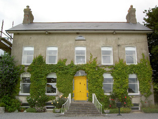 Lismortagh Househouse · 994 yd
 Mortlestown Castle RuinCastle · 1101 yd
 St. Johnstown ChurchChurch · 1313 yd
 Saint Johnstown CastleCastle · 1333 yd
 Eagle HillMountain / peak · 1.7 mi
 Kilknockan HillMountain / peak · 3.5 mi
 Noan WoodWood · 4.2 mi
 East GateMemorial · 4.7 mi
 Taylor's WoodWood · 4.8 mi
 Gobban Saer's GraveArchaeological place · 5.3 mi