What is recorded here
Located on a slight SE-facing slope with a NE-SW stream c. 300m to the SE. The cropmark of a circular bivallate enclosure (int. diam. c. 30m; ext. diam. c. 45m) is visible on digital aerial photographs (WX039-087_1 to _4) taken in 2006. Rath (WX039-073----) is c. 260m to the SSW. Archaeological monitoring (15E0422) in Area 3 of a gas pipe under the road immediately to the N identified the outer ditch (Wth of top 4.5-6m; D 0.85-1m) at two points. There were silts at the bottom beneath what is probably bank material pushed into the ditch. No dating material was recovered. (Sutton 2018; excavations.ie 2015:422)
WX039-087----_1.jpg from E
Compiled by: Michael Moore
Date of upload: 29 January, 2013
Amended: 19 October 2020
The monument record does not grant public access. Check the route and ask the landowner before entering private land.
- What survives
- Recorded monument
Places near here
 IndicatedHouse, 17th century · 552 yd
 Castle (in ruins)Bawn · 561 yd
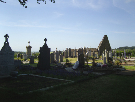 graveyard/cemeterygraveyard/cemetery · 617 yd
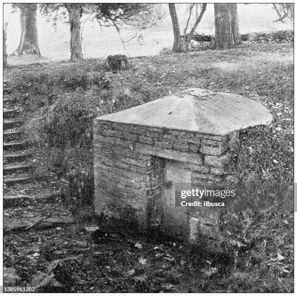 St. Bridgets WellHoly well · 807 yd
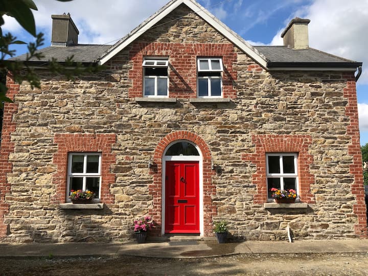 Ecclesiastical enclosure in BallybrazilEcclesiastical enclosure · 985 yd
 Silver WattleSilver Wattle · 1031 yd
 Arboretum MapVisitor information · 1128 yd
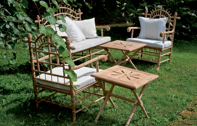 Bamboo CollectionVisitor information · 1364 yd
 CastleCastle, tower house · 1683 yd
 The John F. Kennedy ArboretumForest · 1718 yd
 John F. Kennedy Arboretum MuseumMuseum · 1.2 mi
 Campile WWII Bombing MemorialMemorial · 1.3 mi