What is recorded here
Fairy fort / earthen ringfort in Milltown (rathconrath By., Churchtown Ed) is a fairy fort or earthen ringfort in Milltown (rathconrath By., Churchtown Ed), County Westmeath, Ireland. The 1976 record describes a large circular ringfort with an internal diameter of approximately 36 metres and an overall external diameter of approximately 68 metres, outlined by a wide low bank of earth and stones. A wide shallow fosse and a wide low outer bank lie outside the main bank, while the interior slopes gently from west to east and contains a low stony outcrop and the outline of a large rectangular house on the southeast side. The 1976 account notes no apparent entrance to the interior, whereas an earlier 1971 report recorded an entrance gap at the east-northeast.
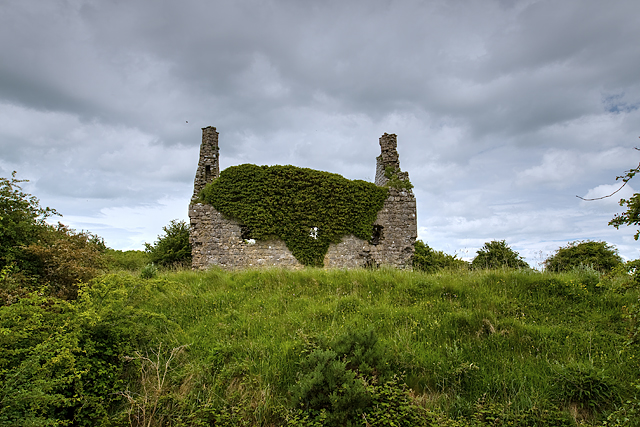
Located just off top of ridge of rising ground on NE facing slope with good views in all directions. Levelled R. C. Chapel (WM025-154----) located 60m to N, medieval church site (WM025-011----) and graveyard (WM025-011002-) 100m to N. Well preserved ringfort which is now fenced off and inaccessible due to dense cover of scrub vegetation around the perimeter of the monument. Recorded in 1976 by Archaeological Survey of Ireland when the monument was described as a ‘large circular ringfort (int. diam. c. 36m; overall ext. diam. c. 68m) outlined by a wide low bank of earth and stones. On north, east and south the bank is set on a low embankment. Outside the bank there is a wide shallow fosse with a wide low outer bank beyond it. The interior slopes gently from west to east. There is a low stony outcrop to the west of centre. Inside the bank on the SE there is the outline of a large rectangular house (WM025-012001-). There is no apparent entrance to the interior of the ringfort. The earthwork is on a low gentle rise in good pasture land with good views to north, east and south with restricted views to SW and west’ (SMR File 17/08/1976). An earlier ASI report from 1971 recorded the presence of an entrance gap (Wth 2.2m-4.9m) at ENE (SMR File 09/04/1971).
See attached section of earthwork surveyed by Archaeological Survey of Ireland (SMR File)
Compiled by: Caimin O’Brien
Date of upload: 30 July 2014
A fairy fort or earthen ringfort in Milltown, likely dating to the early medieval period, is situated on a ridge with extensive views, near a former chapel and medieval church site. Local tradition associates such sites with fairy lore, reflecting their perceived otherworldly or sacred significance in Irish folklore.
The monument record does not grant public access. Check the route and ask the landowner before entering private land.
- What survives
- Recorded monument
Places near here
 Ancient Ring FortWood · 7 yd
 R.C. ChapelChapel · 110 yd
 Church in Churchtown (rathconrath By.)Church · 177 yd
 IndicatedSettlement deserted, medieval · 556 yd
 Oldtown CastleCastle · 776 yd
 Dundonnell CastleCastle, unclassified · 1114 yd
 RathglassEnclosure, large enclosure · 1361 yd
 Hill of UisneachMountain / peak · 3.1 mi
 European ashEuropean ash · 4.0 mi
 Carrickphilbin IslandIslet · 5.9 mi
 Srudarra IslandIslet · 6.1 mi
 Abbeyshrule AbbeyRuins · 9.1 mi