What is recorded here
On a slight rise of ground in gently undulating pasture land. Gallstown House located 890m to the NW. Levelled monument visible on the ground as a cropmark (Wth 3m) of differential vegetation growth defining a roughly circular area (diam. c. 41m N-S; 39.2m E-W). A slight depression visible from S-W marks the outline of the levelled fosse. No other features visible. Recorded as a ringfort in 1956 when it was described as a small ringfort that was possibly modified as a tree-ring due to the presence of tree-stumps along the bank of the ringfort. The ringfort consisted of a circular area (diam. 38m N-S) enclosed by an earthen bank (Wth 3m; int. H 0.3m; ext. H 1m) only visible at N, elsewhere it has been reduced to a scarp and outer fosse (Wth 2.4m; ext. D 0.7m) (SMR File). Marked as a ‘Fort’ on the OS Fair Plan parish map of Pass of Kilbride (SMR File). Depicted as an antiquity on the 1818 townland map of Milltown (Boyd Belvedere Maps, WCL/M/BBE/22). Visible as a cropmark on Bing Maps aerial photograph taken between 06-07 November 2011.
See attached document for image of cropmark visible on Bing Maps at www.bing.com/maps
Compiled by: Caimin O'Brien
Date of upload: 24 July 2013
The monument record does not grant public access. Check the route and ask the landowner before entering private land.
- What survives
- Recorded monument
Places near here
 milestone/milepostmilestone/milepost · 166 yd
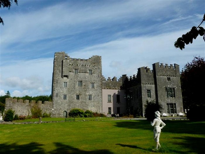 CastleCastle, unclassified · 1161 yd
 Church (in Ruins)Church · 1256 yd
 Site of CastleCastle, unclassified · 1383 yd
 OutlinedEnclosure · 1.1 mi
 St. Bridgets WellHoly well · 1.6 mi
 Derrygreenagh HillMountain / peak · 3.1 mi
 Knockdrin HillMountain / peak · 3.6 mi
 Mollie Moo's Pet FarmHeritage attraction · 5.1 mi
 Belvedere house and gardensVisitor information · 5.3 mi
 Roundhill WoodForest · 8.5 mi
 Rahin WoodsForest · 9.0 mi