What is recorded here
On a SW-facing slope, stream running NW-SE immediately S of monument. In relatively flat terrain, undulating gently. Surrounded W-N-E by pasture. Circular area (diam. 32m N-S and E-W) enclosed by an earthen bank (Wth 2.3m crest, 4.4m base; int. H 0.19m; ext. H 0.6m) with no evidence of external fosse. Entrance in E quadrant (Wth 2.6m). Trees and scrub in interior which slopes to SW. Along SW edge there is a lot of heavy scrub. Bank is clear in NE and SE quadrants, where it is broad with stone protruding. A field bank runs concentric with the NE bank of the ringfort, creating the impression of an external fosse. Drainage works carried out on the adjacent stream have resulted in a deepening and channelising of the stream, the upcast from which has been dumped 4m from the edge of the stream, onto the SW side of the ringfort, along with uprooted scrub formerly along the edge of the stream.
Compiled by: Jean Farrelly
Date of upload: 26 August 2011
The monument record does not grant public access. Check the route and ask the landowner before entering private land.
- What survives
- Recorded monument
Places near here
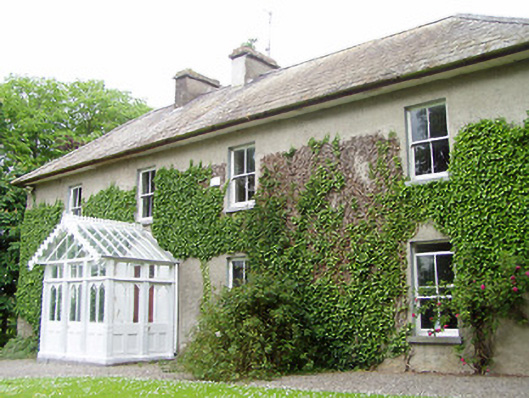 Kilmore Househouse · 728 yd
 Milltown Househouse · 739 yd
 Enclosure in Kilmore (lisronagh Par.)Enclosure · 787 yd
 Enclosure in Milltown BrittonEnclosure · 1002 yd
 Persian WalnutPersian Walnut · 1.1 mi
 Site of Carrigeen CastleCastle, unclassified · 1.1 mi
 CastleCastle, ringwork and bailey · 1.6 mi
 Common LimeCommon Lime · 2.5 mi
 CarrickbrockMountain / peak · 2.7 mi
 CarrigdotiaMountain / peak · 3.0 mi
 RetrospectMemorial · 4.2 mi
 Charles BianconiMemorial · 4.3 mi