What is recorded here
Millford holds a substantial earthen ringfort above a watery glade, preserving two banks and a cutting across sixty metres of grass. The earth rises into a sharp inner scarp on the northeast, suggesting a deliberate entrance rather than a random heap. Humans shaped that ground long before modern memory, creating a defensible circle where the stream still maps the boundary.
On top of a rise in otherwise low-lying grassland surrounded by a stream. Well-preserved subcircular rath (N-S 61m, E-W 48m) defined by two banks and an intervening fosse. A scarp forms the inner enclosing element from NNE to NE. Possible entrance at NE.
The above description is derived from the published 'Archaeological Inventory of County Galway Vol. II - North Galway'. Compiled by Olive Alcock, Kathy de hÓra and Paul Gosling (Dublin: Stationery Office, 1999).
Date of upload: 05 August 2010
The monument record does not grant public access. Check the route and ask the landowner before entering private land.
- What survives
- Recorded monument
Places near here
 Enclosure in MillfordEnclosure · 366 yd
 Creggs Presbyterian Churchchurch/chapel · 1423 yd
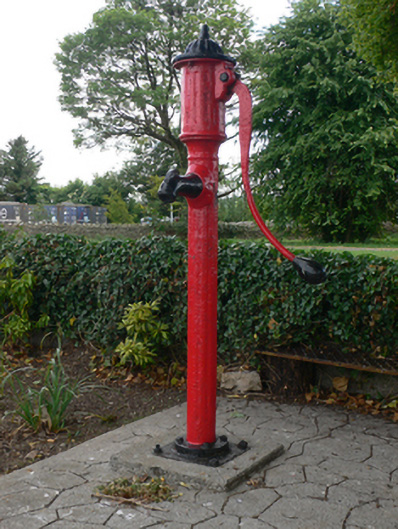 water pumpwater pump · 1460 yd
 LiscarraghArchaeological place · 1.5 mi
 Mount MaryMountain / peak · 1.7 mi
 Sally IslandIslet · 2.9 mi
 CastleCastle, unclassified · 3.7 mi
 European ashEuropean ash · 4.0 mi
 European YewEuropean Yew · 4.0 mi
 Castle KellyCastle, tower house · 4.2 mi
 Site of Killomaine Grave YardArchaeological place · 4.9 mi
 Inch IslandIsland · 11 mi