What is recorded here
Fairy fort in Maulrour, County Cork, is a 35-metre earthen ring with a 1.7-metre bank on a south-facing slope. The interior dips sharply at the south end where rock outcropping breaks the soil. A faint fosse remains on the east side. The shape suggests a lived boundary, not a decorative mound, though no named person or date is attached to it.
In pasture, on break in S-facing slope. Circular area (diam. 35m) enclosed by earthen bank (H 1.7m). Trace of fosse on E side. Interior dips sharply at S end where there is rock outcropping.
The above description is derived from the published 'Archaeological Inventory of County Cork. Volume 1: West Cork' (Dublin: Stationery Office, 1992). In certain instances the entries have been revised and updated in the light of recent research.
Date of upload/revision: 14 January 2009
The monument record does not grant public access. Check the route and ask the landowner before entering private land.
- What survives
- Recorded monument
Places near here
 MaullaghseefinBarrow, mound barrow · 1101 yd
 Burial Ground for childrenBurial ground · 1266 yd
 Monteen Castle (in Ruins)Castle, tower house · 1628 yd
 Skeaf West Househouse · 1.1 mi
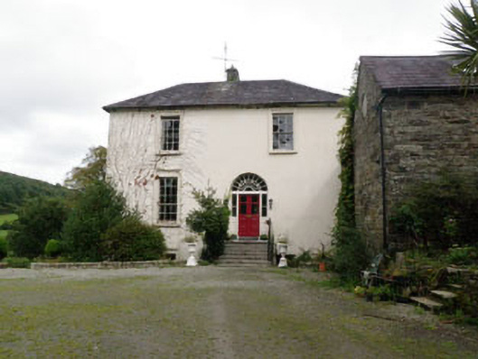 Ardnavaharectory/glebe/vicarage/curate's house · 1.1 mi
 English hollyEnglish holly · 1.1 mi
 Graveyard in KilmalodaGraveyard · 1.1 mi
 Argideen Valley trailVisitor information · 2.6 mi
 Argideen Loop WalksVisitor information · 2.7 mi
 Tobar MacloonaboySpring · 2.7 mi
 Michael Collins CentreMuseum · 3.0 mi
 Battle of the Big Cross (1798) Memorial MonumentMonument · 3.3 mi